Near Pine Mountain in Harris County, Georgia — The American South (South Atlantic)
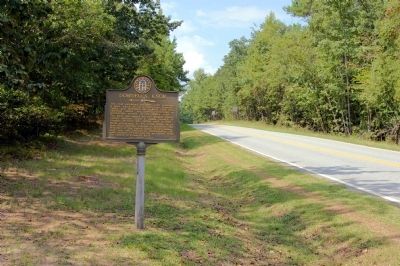
Dowdell's Knob
<------<<<<
The knob was named for two pioneer Harris County settlers, Lewis & James Dowdell of Virginia ancestry who settled here in 1828.
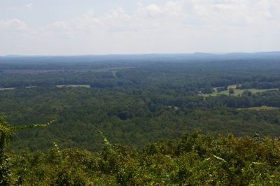
While sojourning at The Little White House near Warm Springs, Franklin D. Roosevelt, 32d President of the United States, found momentary rest and relaxation contemplating the wide expanse of land and sky as viewed from the summit of Dowdell’s Knob.
Erected 1957 by Georgia Historical Commission. (Marker Number 072-6.)
Topics and series. This historical marker is listed in these topic lists: Roads & Vehicles • Settlements & Settlers. In addition, it is included in the Former U.S. Presidents: #32 Franklin D. Roosevelt, and the Georgia Historical Society series lists. A significant historical year for this entry is 1395.
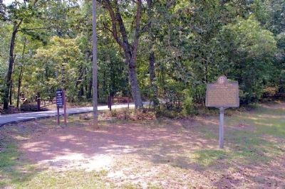
Location. 32° 51.465′ N, 84° 44.214′ W. Marker is near Pine Mountain, Georgia, in Harris County. Marker is at the intersection of Georgia Route 190 and Dowdell Knob Road, on the right when traveling east on State Route 190. Touch for map. Marker is in this post office area: Pine Mountain GA 31822, United States of America. Touch for directions.
Other nearby markers. At least 8 other markers are within 4 miles of this marker, measured as the crow flies. This Was His Georgia (approx. 1.3 miles away); Franklin D. Roosevelt (approx. 1.3 miles away); Longleaf Pine Planting (approx. 2.2 miles away); Roosevelt Farm (approx. 2.2 miles away); Franklin Delano Roosevelt (approx. 3.3 miles away); The Little White House (approx. 3.4 miles away); Warm Springs Treatment Pools (approx. 3.6 miles away); a different marker also named Franklin D. Roosevelt (approx. 3.7 miles away). Touch for a list and map of all markers in Pine Mountain.
Credits. This page was last revised on January 3, 2020. It was originally submitted on August 29, 2009, by David Seibert of Sandy Springs, Georgia. This page has been viewed 2,176 times since then and 36 times this year. Photos: 1, 2, 3, 4. submitted on August 29, 2009, by David Seibert of Sandy Springs, Georgia. • Craig Swain was the editor who published this page.


