Dublin in County Dublin, Leinster, Ireland — Mid-East (and Dublin)
Saint Patrick’s Park
Páirc Naomh Pádraig
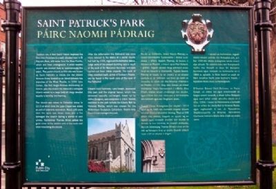
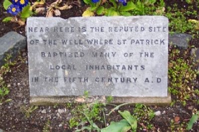
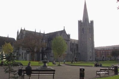
Tradition has it that Saint Patrick baptised the first Irish Christians in a well, situated here in St. Patrick's Park, with water from the River Poddle, which still flows underground. A small wooden church was erected here to commemorate the event. The parish church on this site was known as Saint Patrick's in Insula (on the island) because it was located on an island between two branches of the River Poddle. In 1191 John Comyn, the first Anglo-Norman Archbishop of Dublin, gave the church the status of a collegiate church served by a large body of clergy devoted equally to worship and learning.
The church was raised to Cathedral status in 1213 at which time the Lady Chapel was added as part of extensive renovation. About 100 years later the spire was blown down and a fire damaged the church during a period of civil unrest. Archbishop Thomas Minot added the great tower at the western end of the north wall when rebuilding the church.
After the reformation the Cathedral was once more reduced to the status of a parish church but had, by 1555, regained it's Cathedral status. Large parts of the present building were a result of the work of Sir Benjamin Guinness and were carried out from 1864 onwards. The tomb of Dean Jonathan Swift, author of Gulliver's Travels, can be found in the south aisle of the nave of the Cathedral.
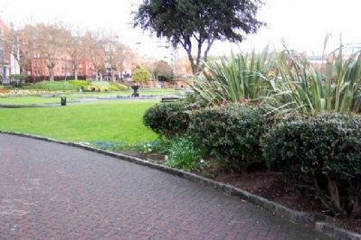
Edward Cecil Guinness, Lord Iveagh, developed this park and the original layout, which has remained basically unchanged, drawn up by Arthur Dudgeon, was completed in 1904. Recent additions to the park include the Liberty Bell by Vivienne Roche, which was chosen for the Millenium Sculpture Exhibition. Dublin City Council now manages the park.
[Gaelic language version not available at this time]
Erected by City of Dublin.
Topics. This historical marker is listed in these topic lists: Arts, Letters, Music • Churches & Religion • Education • Parks & Recreational Areas.
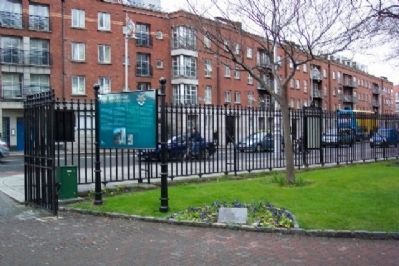
Location. 53° 20.398′ N, 6° 16.324′ W. Marker is in Dublin, Leinster, in County Dublin. Marker is on Patrick Street (National Route 81), on the left when traveling south. Marker is about 50 feet north of the cathedral tower. Touch for map. Marker is in this post office area: Dublin, Leinster 8, Ireland. Touch for directions.
Other nearby markers. At least 8 other markers are within walking distance of this marker. St. Patrick's Cathedral (here, next to this marker); Dublin Millenium Literary Parade (about 120 meters away, measured in a direct line); Chris Reid Oral History Artwork Project (about 210 meters away); James Clarence Mangan (approx. 0.4 kilometers away); Veronica Guerin (approx. 0.4 kilometers
away); Castle Hall (approx. half a kilometer away); Site of St Olave's Church / Láthair Eaglais Amhlaoibh (approx. half a kilometer away); First Performance of Handel's Messiah (approx. half a kilometer away). Touch for a list and map of all markers in Dublin.
Credits. This page was last revised on January 2, 2020. It was originally submitted on September 15, 2009, by William Fischer, Jr. of Scranton, Pennsylvania. This page has been viewed 1,796 times since then and 77 times this year. Photos: 1, 2, 3, 4, 5. submitted on September 15, 2009.
