Summerville in Dorchester County, South Carolina — The American South (South Atlantic)
Dorchester Free School
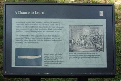
A Chance to Learn
The Dorchester Free School operated only a short time here. It opened in 1761 then closed during the Revolution and did not reopen for almost twenty-five years. In 1818 the school moved to the nearby town of Summerville.
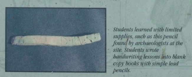
(Left picture): Students learned with limited supplies, such as this pencil found by archaeologists at the site. Students wrote handwriting lessons into blank copy books with simple lead pencils.
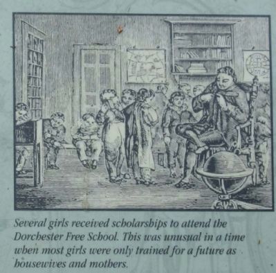
(Right picture): Several girls received scholarships to attend the Dorchester Free School. This was unusual in a time when most girls were only trained for a future as housewives and mothers.
Erected by South Carolina State Park Service.
Topics. This historical marker is listed in these topic lists: Colonial Era • Education. A significant historical year for this entry is 1761.
Location. 32° 56.916′ N, 80° 10.269′ W. Marker is in Summerville, South Carolina, in Dorchester County . Marker is on State Park Road. .6 miles south of Dorchester Road ( State Road 642 )at Old Dorchester State Park. Touch for map. Marker is in this post office area: Summerville SC 29485, United States of America. Touch for directions.
Other nearby markers. At least 8 other markers are within walking distance of this marker. The Bell Tower of St. George's (within shouting distance of this marker); Colonial Dorchester (about 300 feet away, measured in a direct line); Parish Church of St. George, Dorchester (about 400 feet away); a different marker also named Colonial Dorchester (about 400 feet away); Fort Dorchester (about 500 feet away); a different marker also named Colonial Dorchester (about 600 feet away); Old Dorchester (about 600 feet away); Linking Places and People (about 600 feet away). Touch for a list and map of all markers in Summerville.
Credits. This page was last revised on June 16, 2016. It was originally submitted on September 23, 2009, by Mike Stroud of Bluffton, South Carolina. This page has been viewed 1,315 times since then and 64 times this year. Photos: 1, 2, 3, 4, 5. submitted on September 23, 2009, by Mike Stroud of Bluffton, South Carolina. • Craig Swain was the editor who published this page.
