Cross in Berkeley County, South Carolina — The American South (South Atlantic)
Cherokee Path
Inscription.
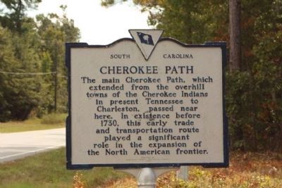
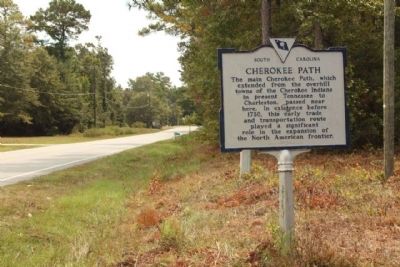
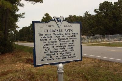
The main Cherokee Path, which extended from the overhill towns of the Cherokee Indians in present Tennessee to Charleston, passed near here. In existence before 1730, this early trade and transportation route played a significant role in the expansion of the North American frontier.
Erected 1977 by Berkeley County Historical Society. (Marker Number 8-24.)
Topics. This historical marker is listed in this topic list: Roads & Vehicles. A significant historical year for this entry is 1730.
Location. 33° 20.71′ N, 80° 8.602′ W. Marker is in Cross, South Carolina, in Berkeley County. Marker is on Old Highway 6, on the right when traveling west. Located Approx. 500 feet from Ranger Road intersection and Road 132. Touch for map. Marker is in this post office area: Cross SC 29436, United States of America. Touch for directions.
Other nearby markers. At least 8 other markers are within 7 miles of this marker, measured as the crow flies. Barnet's Tavern (about 300 feet away, measured in a direct line); Cross Post Office (approx. 1.2 miles away); Gen. William Moultrie (approx. 1.6 miles away); Moss Grove (approx. 1.9 miles away); Friendship Methodist Church (approx. 3.4 miles away); Thomas Sumter's Store (approx. 5 miles away); Berkeley County (approx. 6.2 miles away); Village of Eadytown (approx. 6.3 miles away). Touch for a list and map of all markers in Cross.
Related markers. Click here for a list of markers that are related to this marker. See other markers tracing the Cherokee Path
Also see . . . The Cherokee Path (also Keowee path), Wikipedia entry. In the 17th century it was used by English and French fur traders, and later used as a military road during the American Revolution. (Submitted on September 30, 2009, by Mike Stroud of Bluffton, South Carolina.)
Credits. This page was last revised on June 16, 2016. It was originally submitted on September 30, 2009, by Mike Stroud of Bluffton, South Carolina. This page has been viewed 2,529 times since then and 212 times this year. Photos: 1, 2, 3. submitted on September 30, 2009, by Mike Stroud of Bluffton, South Carolina. • Craig Swain was the editor who published this page.


