Kyburz in El Dorado County, California — The American West (Pacific Coastal)
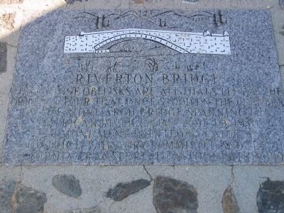
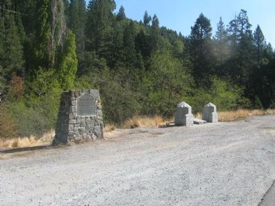
Riverton Bridge
This monument erected by Caltrans District 3 History Committee and the California Transportation Commission, 1990.
Erected 1990 by Caltrans and the California Transporation Commission.
Topics. This historical marker is listed in these topic lists: Bridges & Viaducts • Roads & Vehicles. A significant historical year for this entry is 1900.
Location. 38° 46.271′ N, 120° 26.948′ W. Marker is in Kyburz, California, in El Dorado County. Marker is on U.S. 50 near Ice House Road, on the right when traveling west. Marker is located at Milepost 39.7, nine miles west of Kyburz. Touch for map. Marker is in this post office area: Kyburz CA 95720, United States of America. Touch for directions.
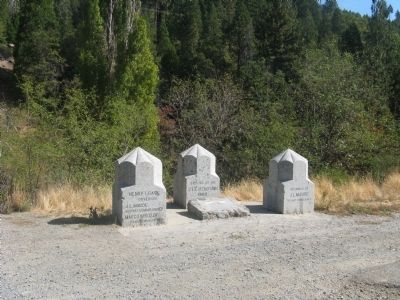
Other nearby markers. At least 8 other markers are within 6 miles of this marker, measured as the crow flies. Moore’s (Riverton) (here, next to this marker); Johnson Cutoff - Peavine Ridge (approx. 2.2 miles away); Johnson Cutoff - Sear's Post (approx. 3.1 miles away); Johnson Cutoff - Bartlett Bridge (approx. 4 miles away); Johnson Cutoff - Fresh Pond (approx. 4˝ miles away); Carson Trail - Junction (approx. 5.4 miles away); Cutoff to Johnson Ranch and Placerville (approx. 5.4 miles away); In Memory of the Bravery of Our Pioneer Officers (approx. 5˝ miles away).
Photographed By Syd Whittle, October 11, 2009
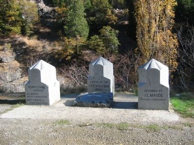
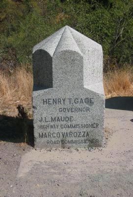
4. Left Obelisk
Governor
J. L. Maude
Highway Commissioner
Margo Varozza
Road Commissioner
(Henry Gage was the 20th Governor of
California and served from 1899 - 1903).
Click for more information.
Photographed By Syd Whittle, October 11, 2009
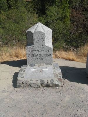
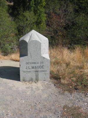
6. Right Obelisk
J. L. Maude
Highway Commissioner
(In 1895 the Lake Tahoe Wagon Road became California's first state highway and J.L. Maude was appointed as a member of the Highway Commission on March 27, 1895.)
Click for more information.
Credits. This page was last revised on June 16, 2016. It was originally submitted on October 11, 2009, by Syd Whittle of Mesa, Arizona. This page has been viewed 1,910 times since then and 63 times this year. Photos: 1, 2, 3, 4, 5, 6, 7, 8. submitted on October 11, 2009, by Syd Whittle of Mesa, Arizona.
