Moncks Corner in Berkeley County, South Carolina — The American South (South Atlantic)
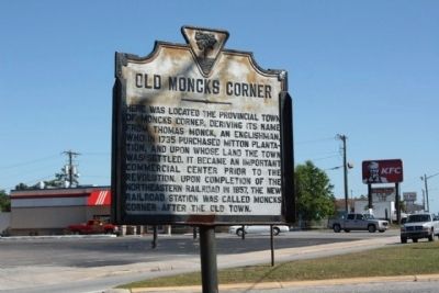
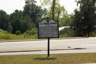
Old Moncks Corner
Topics. This historical marker is listed in these topic lists: Colonial Era • Settlements & Settlers. A significant historical year for this entry is 1735.
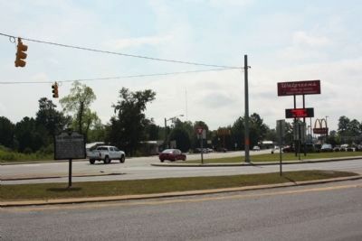
Location. 33° 12.12′ N, 79° 59.406′ W. Marker is in Moncks Corner, South Carolina, in Berkeley County. Marker is at the intersection of North Live Oak Drive (U.S. 17A) and U.S. 52, in the median on North Live Oak Drive. Touch for map. Marker is in this post office area: Moncks Corner SC 29461, United States of America. Touch for directions.
Other nearby markers. At least 8 other markers are within one mile of this marker, measured as the crow flies. First Site of Moncks Corner (about 500 feet away, measured in a direct line); Berkeley Training High School (approx. 0.3 miles away); Stony Landing Plantation (approx. 0.4 miles away); Dixie Training School / Berkeley Training High School (approx. 0.8 miles away); Santee Canal (approx. 0.8 miles away); Fairlawn Plantation / Fort Fairlawn (approx. 0.9 miles away); Moncks Corner Depot (approx. 1.1 miles away); a different marker also named Santee Canal (approx. 1.1 miles away). Touch for a list and map of all markers in Moncks Corner.
Also see . . . Touring South Carolina's Revolutionary War Sites By Daniel W. Barefoot, page 45. Moncks Corner a vital link to the outside world for Charlestonians. (Submitted on October 15, 2009, by Mike Stroud of Bluffton, South Carolina.)
Credits. This page was last revised on June 16, 2016. It was originally submitted on October 15, 2009, by Mike Stroud of Bluffton, South Carolina. This page has been viewed 2,201 times since then and 188 times this year. Photos: 1, 2, 3. submitted on October 15, 2009, by Mike Stroud of Bluffton, South Carolina. • Craig Swain was the editor who published this page.


