Newburg in Charles County, Maryland — The American Northeast (Mid-Atlantic)
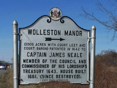
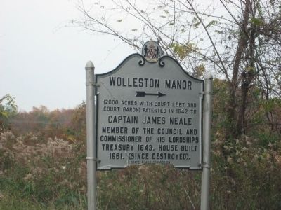
Wolleston Manor
(2000 acres with Court Leet and Court Baron) Patented in 1642 to Captain James Neale
Captain James Neale
Member of the Council and Commissioner of his Lordship's Treasury 1643. House built 1661. (Since destroyed).
Erected by State Roads Commission.
Topics. This historical marker is listed in these topic lists: Colonial Era • Settlements & Settlers. A significant historical year for this entry is 1642.
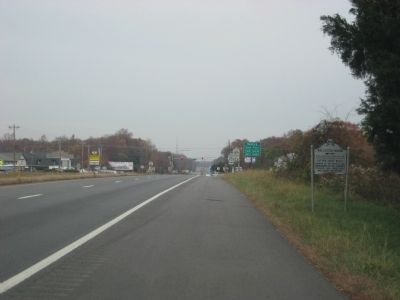
Location. 38° 22.633′ N, 76° 57.433′ W. Marker is in Newburg, Maryland, in Charles County. Marker is on Crain Highway (U.S. 301) 0.2 miles south of Rock Point Road (Maryland Route 257), on the right when traveling north. Touch for map. Marker is in this post office area: Newburg MD 20664, United States of America. Touch for directions.
Other nearby markers. At least 8 other markers are within walking distance of this marker. 300 Year Old Southern Red Oak (approx. 0.2 miles away); Cliffton (approx. 0.4 miles away); Potomac Diversion (approx. 0.6 miles away); John Wilkes Booth (approx. 0.6 miles away); Ways to Explore Southern Maryland’s Scenic and Historic Routes (approx. 0.6 miles away); Explore your Cheaspeake (approx. 0.6 miles away); Discover Southern Maryland’s Amazing Stories of Exploration, Hope, and Courage (approx. 0.6 miles away); In Memory of Robert Crain (approx. 0.6 miles away). Touch for a list and map of all markers in Newburg.
Also see . . . Wolleston Manor, Maryland Inventory of Historic Properties. (Submitted on January 17, 2019.)
Credits. This page was last revised on August 18, 2019. It was originally submitted on November 15, 2009, by F. Robby of Baltimore, Maryland. This page has been viewed 2,008 times since then and 127 times this year. Photos: 1. submitted on March 7, 2010, by Mike Stroud of Bluffton, South Carolina. 2, 3. submitted on November 15, 2009, by F. Robby of Baltimore, Maryland.


