Brownsville in Fayette County, Pennsylvania — The American Northeast (Mid-Atlantic)
Brownsville - Route 40 Bridge
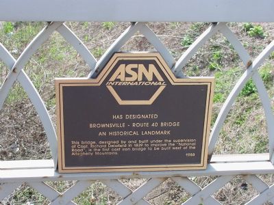
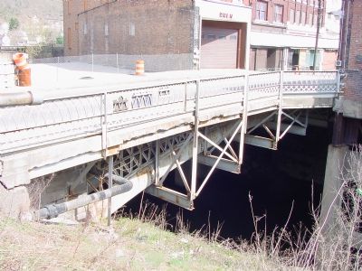
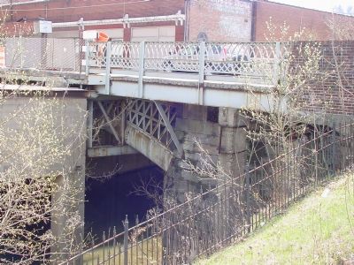
ASM International has designated Brownsville - Route 40 Bridge an historical landmark. This bridge, designed by and built under the supervision of Capt. Richard Delafield in 1839 to improve the "National Road", is the first cast iron bridge to be built west of the Allegheny Mountains.
Erected 1988 by American Society for Metals.
Topics and series. This historical marker is listed in these topic lists: Bridges & Viaducts • Roads & Vehicles. In addition, it is included in the ASM International Historical Landmarks, and the The Historic National Road series lists. A significant historical year for this entry is 1839.
Location. 40° 1.276′ N, 79° 53.282′ W. Marker is in Brownsville, Pennsylvania, in Fayette County. Marker is on Market Street east of Bank Street, on the right when traveling east. Touch for map. Marker is in this post office area: Brownsville PA 15417, United States of America. Touch for directions.
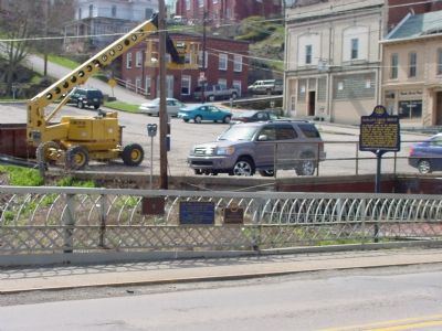
Other nearby markers. At least 5 other markers are within walking distance of this marker. Dunlap’s Creek Bridge (here, next to this marker); The First Cast Iron Bridge (here, next to this marker); Steamboat Enterprise/Boatbuilding Center (within shouting distance of this marker); Brownsville Military Honor Roll (within shouting distance of this marker); Veterans Memorial (about 500 feet away, measured in a direct line). Touch for a list and map of all markers in Brownsville.
More about this marker. Marker is affixed to the bridge's railing, facing the street.
Also see . . . Dunlap's Creek Bridge. American Society of Civil Engineers website entry (Submitted on April 15, 2006, by J. J. Prats of Powell, Ohio.)
Credits. This page was last revised on July 6, 2022. It was originally submitted on April 15, 2006, by J. J. Prats of Powell, Ohio. This page has been viewed 2,262 times since then and 47 times this year. Photos: 1, 2, 3, 4. submitted on April 15, 2006, by J. J. Prats of Powell, Ohio.


