Near Mechanicsburg in Hampshire County, West Virginia — The American South (Appalachia)
Construction of Fort Mill Ridge
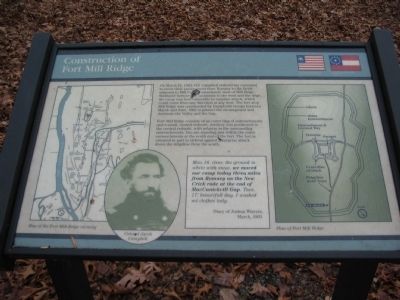
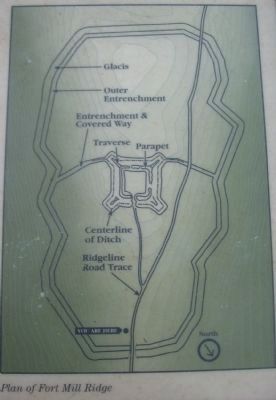
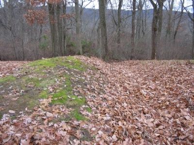
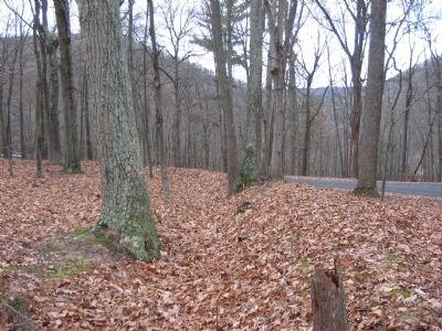
Fort Mill Ridge consists of an outer ring of entrenchments and a small, central redoubt, with infantry in the surrounding entrenchments. You are standing just within the outer entrenchments at the north end of the fort. The fort is oriented in part to defend against a surprise attack down the ridgeline from the south.
Mon 16. clear, the ground is white with snow. we moved our camp today three miles from Romney on the New Crick rode at the end of MacCanickvill Gap. Tues. 17: beautifull day. I washed mi clothes tody.
Diary of Joshua Winters,
March 1863.
Topics. This historical marker is listed in these topic lists: Forts and Castles • War, US Civil. A significant historical month for this entry is March 1820.
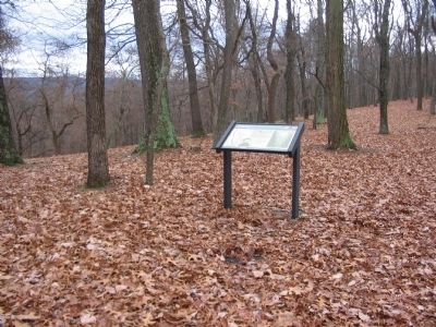
Location. 39° 19.461′ N, 78° 47.606′ W. Marker is near Mechanicsburg, West Virginia, in Hampshire County . Marker is on Fort Mill Ridge Park Road, on the right when traveling east. Located at trail stop 2 on the tour of Fort Mill Ridge Park. Touch for map. Marker is in this post office area: Burlington WV 26710, United States of America. Touch for directions.
Other nearby markers. At least 8 other markers are within walking distance of this marker. The Civil War in the South Branch Valley (a few steps from this marker); Fort Mill Ridge (within shouting distance of this marker); The Central Redoubt (within shouting distance of this marker); Interior of the Central Redoubt (within shouting distance of this marker); Control of the Mechanicsburg Gap (within shouting distance of this marker); Engagement with McNeill's Rangers (about 300 feet away, measured in a direct line); An Outpost in Enemy Territory (about 300 feet away); Abandonment of Fort Mill Ridge (about 400 feet away). Touch for a list and map of all markers in Mechanicsburg.
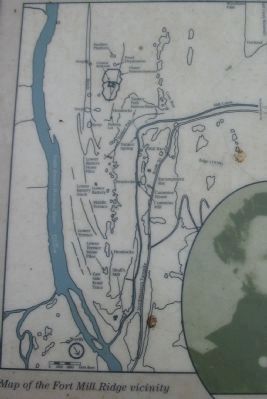
More about this marker. On the left is a map of the Fort Mill Ridge vicinity. In the lower left is a portrait of Colonel Jacob Campbell. To the right is a diagram of the fort indicating key features including the central redoubt, covered ways, and outer trenches.
Credits. This page was last revised on June 16, 2016. It was originally submitted on December 6, 2009, by Craig Swain of Leesburg, Virginia. This page has been viewed 1,105 times since then and 13 times this year. Photos: 1, 2, 3, 4, 5, 6. submitted on December 6, 2009, by Craig Swain of Leesburg, Virginia.
