Saratoga in Santa Clara County, California — The American West (Pacific Coastal)
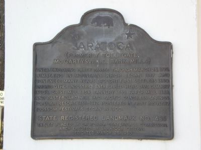
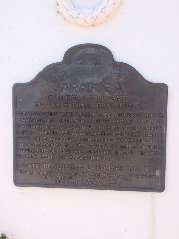
Saratoga
(Formerly Toll Gate, McCartysville, Bank Mills)
Erected 1950 by California Centennials Commission, Citizens of Saratoga. (Marker Number 435.)
Topics and series. This historical marker is listed in these topic lists: Industry & Commerce • Landmarks • Roads & Vehicles • Settlements & Settlers. In addition, it is included in the California Historical Landmarks, and the Juan Bautista de Anza National Historic Trail series lists. A significant historical month for this entry is March 1851.
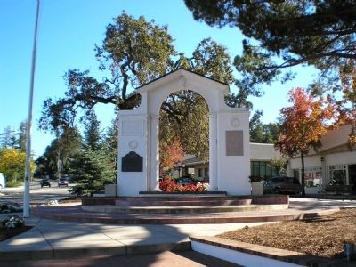
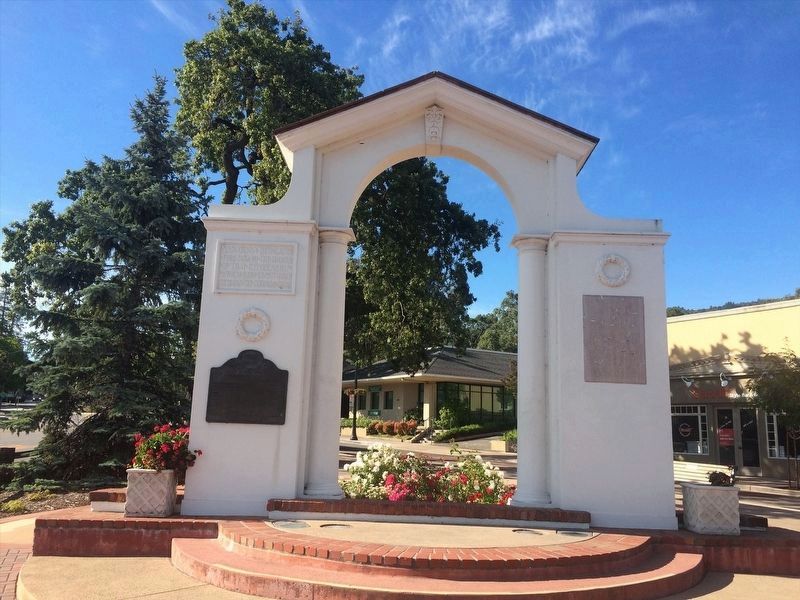
Location. 37° 15.552′ N, 122° 1.854′ W. Marker is in Saratoga, California, in Santa Clara County. Marker is at the intersection of Saratoga-Sunnyvale Road (California Route 9) and Saratoga-Los Gatos Road on Saratoga-Sunnyvale Road. Plaque is located on left side of archway in the small park on the Southwest side of the intersection. Touch for map. Marker is in this post office area: Saratoga CA 95070, United States of America. Touch for directions.
Other nearby markers. At least 8 other markers are within walking distance of this marker. Saratoga World War I Memorial (about 300 feet away, measured in a direct line); Methodist-Episcopal Church (about 400 feet away); Saratoga State Bank (about 500 feet away); John C. Hutchinson Building (approx. 0.2 miles away); Site of Martin McCarty's Toll Gate (approx. 0.2 miles away); Hutchinson /Cloud-Smith Store/Samuel Cloud House (approx. 0.2 miles away); McCarthy Building (approx. ¼ mile away); Grover House (approx. ¼ mile away). Touch for a list and map of all markers in Saratoga.

Photographed By Leticia A. Kohnen, October 19, 2006
3. Saratoga (Formerly Toll Gate, McCartysville, Bank Mills) Marker
The funds and labor to create this park and arch was supplied by the citizens and owners of the city of Saratoga. The historic marker used to reside on the wall of the town fire station, across the street.
Credits. This page was last revised on April 16, 2022. It was originally submitted on September 21, 2007, by Mathew H. Kohnen of San Jose, California. This page has been viewed 1,599 times since then and 26 times this year. Photos: 1. submitted on September 21, 2007, by Mathew H. Kohnen of San Jose, California. 2. submitted on April 13, 2022, by Adam Margolis of Mission Viejo, California. 3. submitted on September 21, 2007, by Mathew H. Kohnen of San Jose, California. 4. submitted on April 13, 2022, by Adam Margolis of Mission Viejo, California. • J. J. Prats was the editor who published this page.


