Dorchester in Dorchester County, South Carolina — The American South (South Atlantic)
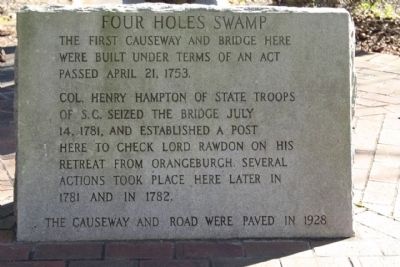
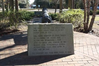
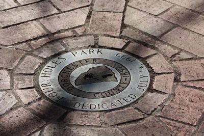
Four Holes Swamp
Col. Henry Hampton of State Troops of S.C. seized the bridge July 14, 1781, and established a post here to check Lord Rawdon on his retreat from Orangeburgh. Several actions took place here later in 1781 and in 1782.
The causeway and road were paved in 1928.
Topics. This historical marker is listed in these topic lists: Roads & Vehicles • War, US Revolutionary. A significant historical date for this entry is April 21, 1800.
Location. 33° 8.561′ N, 80° 21.147′ W. Marker is in Dorchester, South Carolina, in Dorchester County. Marker can be reached from East Main Street (U.S. 178) near U.S. 78, on the right when traveling east. Located in a small park, between the junction of the two highways. Touch for map. Marker is in this post office area: Dorchester SC 29437, United States of America. Touch for directions.
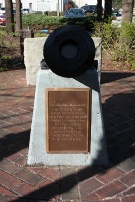
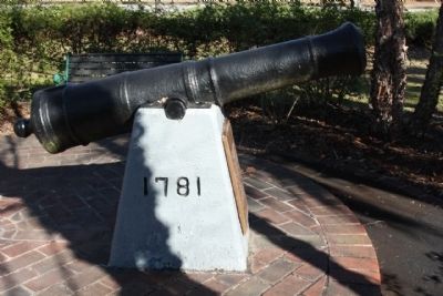
Other nearby markers. At least 8 other markers are within 7 miles of this marker, measured as the crow flies. Revolutionary War Cannon (here, next to this marker); Four Holes Swamp Bridge / Harley's Tavern (here, next to this marker); Moorefield Memorial Highway, (Southern Terminus) (about 500 feet away, measured in a direct line); Berkeley County (approx. 2.4 miles away); Dorchester (approx. 2˝ miles away); Ridgeville (approx. 3.9 miles away); Cypress Methodist Camp Ground (approx. 5.3 miles away); Spring Hill Methodist Church (approx. 6.4 miles away). Touch for a list and map of all markers in Dorchester.
Credits. This page was last revised on June 16, 2016. It was originally submitted on January 18, 2010, by Mike Stroud of Bluffton, South Carolina. This page has been viewed 1,674 times since then and 61 times this year. Photos: 1, 2, 3, 4, 5. submitted on January 18, 2010, by Mike Stroud of Bluffton, South Carolina. • Craig Swain was the editor who published this page.
