Stateburg in Sumter County, South Carolina — The American South (South Atlantic)
Battle of Stateburg
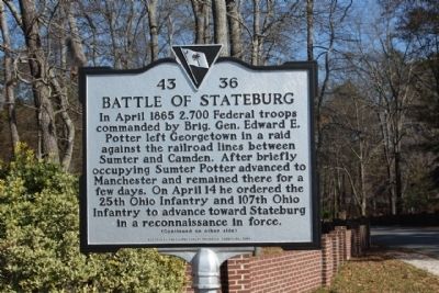
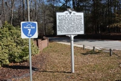
In April 1865 2,700 Federal troops commanded by Brig. Gen. Edward E. Potter left Georgetown in a raid against the railroad lines between Sumter and Camden. After briefly occupying Sumter Potter advanced to Manchester and remained there for a few days. On April 14 he ordered the 25th Ohio Infantry and 107th Ohio Infantry to advance toward Stateburg in a reconnaissance in force.
(Reverse text)
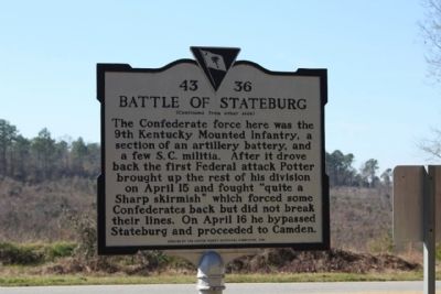
The Confederate force here was the 9th Kentucky Mounted Infantry, a section of an artillery battery, and a few S.C. militia. After it drove back the first Federal attack Potter brought up the rest of his division on April 15 and fought “quite a Sharp skirmish” which forced some Confederates back but did not break their lines. On April 16 he bypassed Stateburg and proceeded to Camden.
Erected 2006 by The Sumter County Historical Commission. (Marker Number 43-36.)
Topics. This historical marker is listed in this topic list: War, US Civil. A significant historical month for this entry is April 1865.
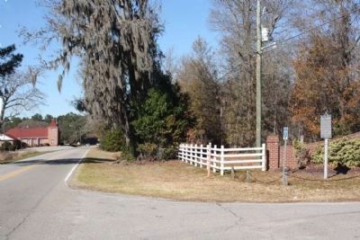
Location. 33° 56.911′ N, 80° 31.63′ W. Marker is in Stateburg, South Carolina, in Sumter County. Marker is at the intersection of North Kings Highway (State Highway 261) and Barnwell Drive, on the right when traveling north on North Kings Highway. Touch for map. Marker is in this post office area: Sumter SC 29154, United States of America. Touch for directions.
Other nearby markers. At least 8 other markers are within 3 miles of this marker, measured as the crow flies. Early Charleston Road (approx. ¼ mile away); William Tennent (approx. 0.4 miles away); Joel Roberts Poinsett (approx. 0.4 miles away); Church of the Holy Cross (approx. 0.4 miles away); Church of the Holy Cross Stateburg / Holy Cross Churchyard (approx. half a mile away); a different marker also named Church of the Holy Cross (approx. half a mile away); Battle of Beech Creek / The Civil War Ends In S.C (approx. 1.8 miles away); High Hills Baptist Church (approx. 2.6 miles away). Touch for a list and map of all markers in Stateburg.
Related markers. Click here for a list of markers that are related to this marker. Campaign in South Carolina, April 1865
Credits. This page was last revised on November 27, 2020. It was originally submitted on February 11, 2010, by Mike Stroud of Bluffton, South Carolina. This page has been viewed 2,193 times since then and 62 times this year. Photos: 1, 2, 3, 4. submitted on February 11, 2010, by Mike Stroud of Bluffton, South Carolina. • Craig Swain was the editor who published this page.


