Elmwood Park in Columbia in Richland County, South Carolina — The American South (South Atlantic)
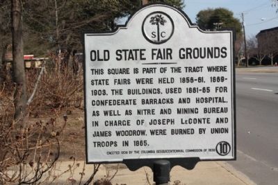
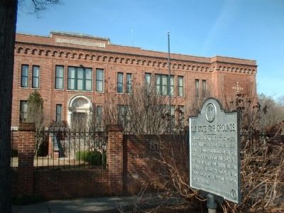
Old State Fair Grounds
Erected 1938 by The Columbia Sesquicentennial Commission of 1936. (Marker Number 40-10.)
Topics. This historical marker is listed in this topic list: War, US Civil. A significant historical year for this entry is 1865.
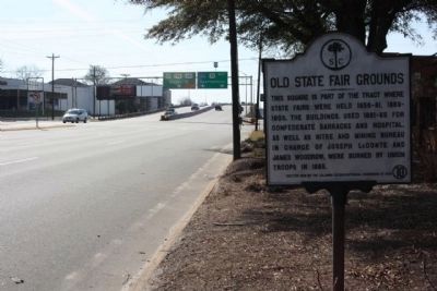
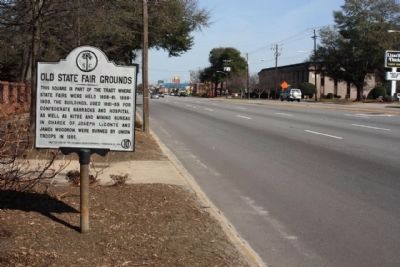
Location. This marker has been replaced by another marker nearby. It was located near 34° 0.705′ N, 81° 2.688′ W. Marker was in Columbia, South Carolina, in Richland County. It was in Elmwood Park. Marker was at the intersection of Elmwood Avenue (U.S. 21) and Gadsden Street, on the right when traveling west on Elmwood Avenue. Touch for map. Marker was at or near this postal address: 815 US-21, Columbia SC 29201, United States of America. Touch for directions.
Other nearby markers. At least 8 other markers are within walking distance of this location. State Fairgrounds (within shouting distance of this marker); South Carolina Memorial Gardens (about 700 feet away, measured in a direct line); St. Timothy's Episcopal Church (about 700 feet away); Governor's Mansion (approx. 0.2 miles away); Lace House (approx. 0.2 miles away); Boylston House & Boxwood Gardens (approx. 0.2 miles away); Sir George Carteret (approx. 0.2 miles away); Duke of Albemarle (approx. 0.2 miles away). Touch for a list and map of all markers in Columbia.
Related marker. Click here for another marker that is related to this marker. New Marker At This Location titled "State Fairgrounds".
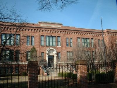
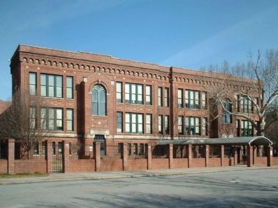
Also see . . . South Carolina Department of Archives and History. Site contains additional history and photos of the Logan School which is the brick building behind the marker. (Submitted on March 2, 2010, by Michael Sean Nix of Spartanburg, South Carolina.)
Credits. This page was last revised on June 24, 2023. It was originally submitted on February 27, 2010, by Mike Stroud of Bluffton, South Carolina. This page has been viewed 1,536 times since then and 28 times this year. Photos: 1, 2, 3, 4, 5, 6. submitted on March 1, 2010, by Mike Stroud of Bluffton, South Carolina. • Craig Swain was the editor who published this page.
