Columbus in Lowndes County, Mississippi — The American South (East South Central)
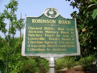
Robinson Road
Erected 1974 by Mississippi Department of Archives and History.
Topics and series. This historical marker is listed in this topic list: Roads & Vehicles. In addition, it is included in the Mississippi State Historical Marker Program series list.
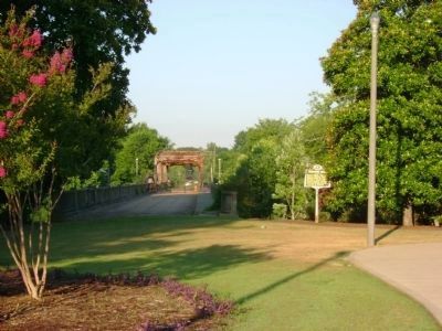
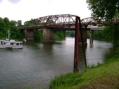
Location. 33° 29.653′ N, 88° 25.992′ W. Marker is in Columbus, Mississippi, in Lowndes County. Marker can be reached from Main Street (State Highway 182) near Old Highway 82 (State Highway 182). At the base of Main street swing bridge & Old Tombigbee River Channel. Touch for map. Marker is in this post office area: Columbus MS 39701, United States of America. Touch for directions.
Other nearby markers. At least 8 other markers are within walking distance of this marker. Columbus (within shouting distance of this marker); The Tennessee Williams Visitors Center (approx. 0.2 miles away); First Home of Tennessee Williams (approx. 0.2 miles away); Errolton (approx. 0.2 miles away); Confederate Decoration Day (approx. 0.2 miles away); St. Paul's Episcopal Church (approx. 0.2 miles away); Columbus Mississippi Blues (approx. ¼ mile away); Lowndes County World War I Memorial (approx. 0.4 miles away). Touch for a list and map of all markers in Columbus.
More about this marker. This marker is 2.5 miles east of the original location.
Credits. This page was last revised on June 16, 2016. It was originally submitted on June 27, 2008, by Davis Darryl Hartness of Columbus, Mississippi. This page has been viewed 2,452 times since then and 85 times this year. Last updated on March 1, 2010, by Davis Darryl Hartness of Columbus, Mississippi. Photos: 1. submitted on June 27, 2008, by Davis Darryl Hartness of Columbus, Mississippi. 2. submitted on July 3, 2008, by Davis Darryl Hartness of Columbus, Mississippi. 3, 4. submitted on July 4, 2008, by Davis Darryl Hartness of Columbus, Mississippi. • Kevin W. was the editor who published this page.


