Near Burlington in Alamance County, North Carolina — The American South (South Atlantic)
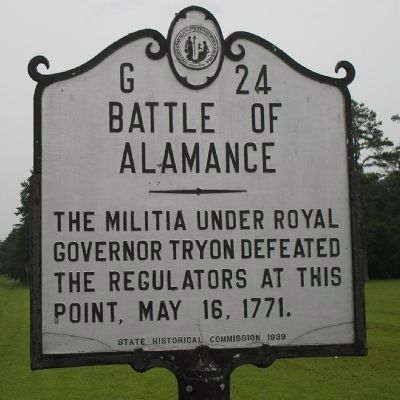
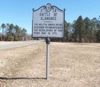
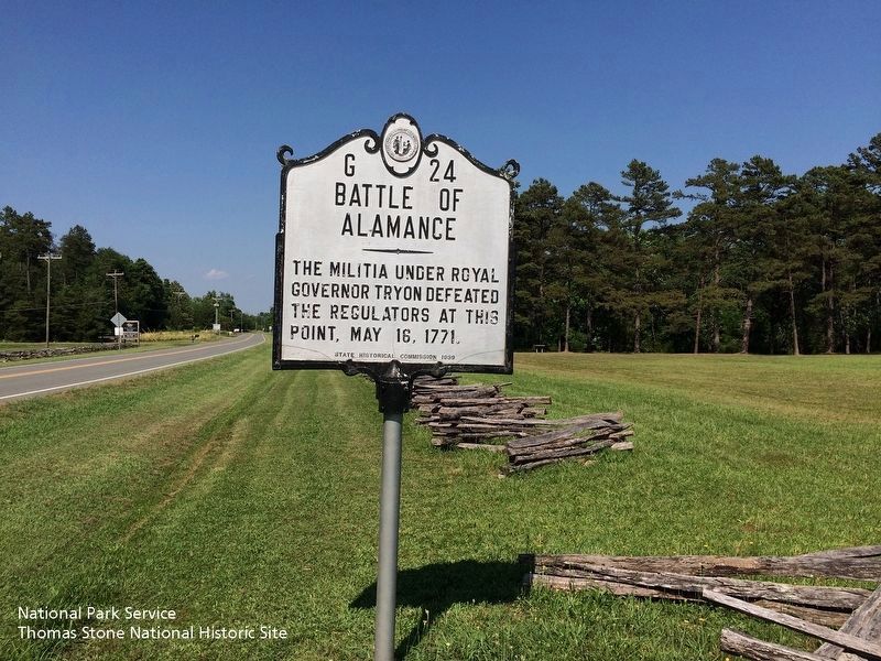
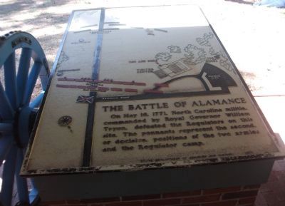
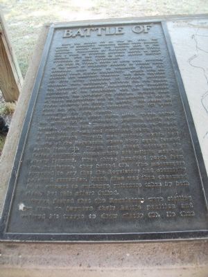
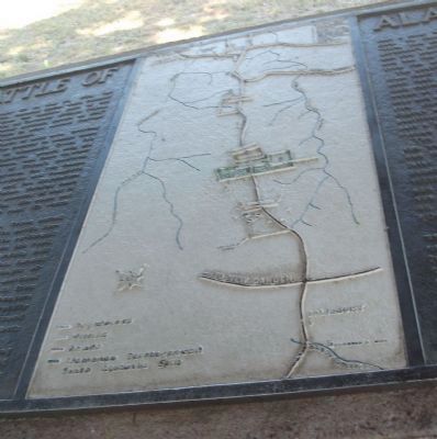
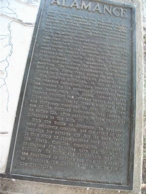
Battle of Alamance
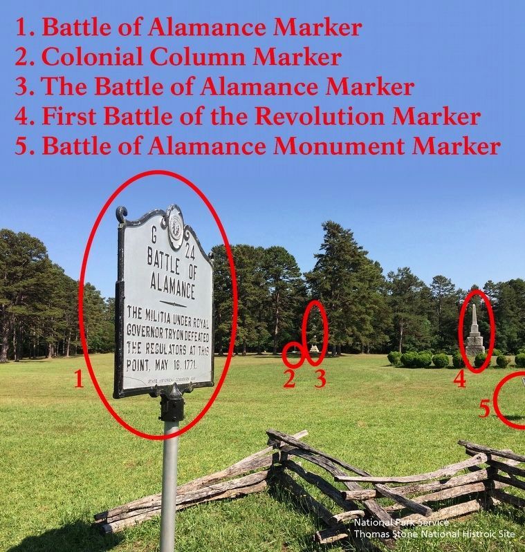
Erected 1939 by State Historical Commission. (Marker Number G-24.)
Topics and series. This historical marker is listed in these topic lists: Colonial Era • War, US Revolutionary. In addition, it is included in the North Carolina Division of Archives and History series list. A significant historical date for this entry is May 16, 1771.
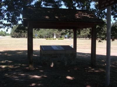
Location. 36° 0.518′ N, 79° 31.251′ W. Marker is near Burlington, North Carolina, in Alamance County. Marker is on North Carolina 62 (North Carolina Route 62) north of Clapp Mill Road, on the left when traveling south. Located at Alamance Battleground, a State of North Carolina Historic Site. Directions from I-85/40. Exit 143. Travel South on NC Highway 62 for 5.8 miles. Entrance to Battleground is on the right. Marker is immediately beyond entrance, on your left. Touch for map. Marker is at or near this postal address: 5803 NC-62, Burlington NC 27215, United States of America. Touch for directions.
Other nearby markers. At least 8 other markers are within walking distance of this marker. Battle of Alamance Monument (a few steps from this marker); First Battle of the Revolution (within shouting distance of this marker); Pugh's Rock (within shouting distance of this marker); Governor Tryon and the Militia (about 300 feet away, measured in a direct line); Colonial Column (about 300 feet away); a different marker also named Battle of Alamance (about 300 feet away); The Battle of the Alamance (about 300 feet away); The Regulators' Field (about 300 feet away). Touch for a list and map of all markers in Burlington.
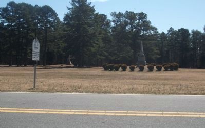
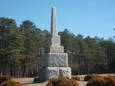
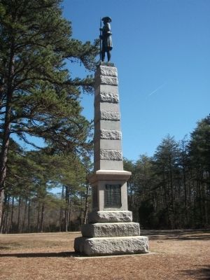
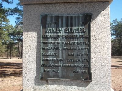
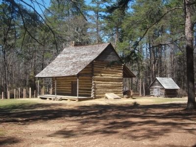
More about this marker. The marker sits on the battlefield. Nearby are two monuments. The closest is a granite monument, erected in 1880. The second monument is topped by a statue of James Hunter, General of the Regulators. Across the highway is the visitor's center which includes artifacts and an audiovisual presentation of the battle. The John Allen House is a restored log house, complete with furnishings. Allen, a local resident, constructed the house around 1780. It is a typical frontier dwelling of the period. The Battleground is open Monday through Saturday 9:00 a.m. to 5:00 p.m.
Regarding Battle of Alamance. The years preceding the American Revolution, were a period of discontent. Citizens confronted the Governor's officials over various grievances, including excessive taxes and dishonest officials.
Peaceful protests and minor incidents occurred until 1768, when an association of "Regulators" was formed. The group included James Hunter, Rednap Howell, William Butler and Herman Husband. These men and others began to take a radical approach. They disrupted court proceedings, refused to pay fees and terrorized local officials.
In March 1771, Royal Governor William Tryon mustered a militia to bring order to the area. General Hugh Waddell was ordered to approach Hillsoborough, NC by way of Salisbury. Waddell was to meet Tryon's army at Hillsborough. Waddell encountered a large group of Regulators en route and turned back. Governor Tryon left Hillsborough on May 11, to go to Waddell's location as reinforcements. Tryon's men, approximately 1,000 of them, rested on the Banks of Alamance Creek. Five miles away, approximately 2,000 Regulators had gathered.
On May 16, 1771, the Regulators were asked by Governor Tryon's men to disperse. They refused and the battle ensued. The Regulators were no match for Tryon's men. They were untrained and unorganized. Many fled the battlefield, leaving neighbors to fight on. Nine members of Governor Tryon's militia were killed, and 61 were wounded. Regulator losses are unknown, but estimated to be much greater. Governor Tryon took approximately 15 prisoners. Seven of them were later executed. Many Regulators moved to frontier areas beyond North Carolina. Those who stayed pledged an oath of allegiance to the royal government, in exchange for a pardon.
Additional keywords. American Revolution, Burlington, Graham, John Allen House, Revolutionary War, Governor Tryon, Hillsborough, Herman Husband, Waddell, General James Hunter
Credits. This page was last revised on May 9, 2023. It was originally submitted on March 6, 2010, by Patrick G. Jordan of Graham, North Carolina. This page has been viewed 5,559 times since then and 54 times this year. Last updated on May 9, 2023, by Michael Buckner of Durham, North Carolina. Photos: 1. submitted on August 22, 2010, by Bill Coughlin of Woodland Park, New Jersey. 2, 3. submitted on March 6, 2010, by Patrick G. Jordan of Graham, North Carolina. 4, 5. submitted on September 18, 2019. 6, 7, 8, 9, 10, 11. submitted on March 6, 2010, by Patrick G. Jordan of Graham, North Carolina. 12, 13, 14, 15. submitted on May 8, 2010, by Patrick G. Jordan of Graham, North Carolina. • J. Makali Bruton was the editor who published this page.
