Appomattox in Appomattox County, Virginia — The American South (Mid-Atlantic)
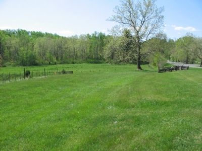
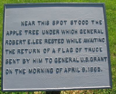
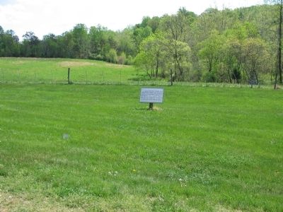
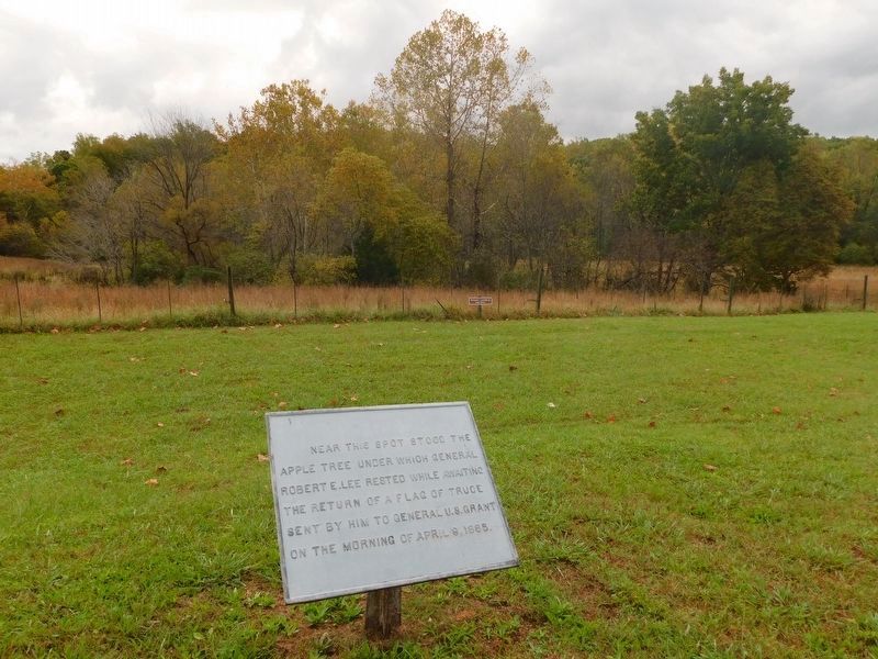
Lee's Apple Tree
Topics and series. This historical marker is listed in this topic list: War, US Civil. In addition, it is included in the Former U.S. Presidents: #18 Ulysses S. Grant series list. A significant historical date for this entry is April 9, 1831.
Location. 37° 23.035′ N, 78° 47.318′ W. Marker is in Appomattox, Virginia, in Appomattox County. Marker is on Old Courthouse Road (State Highway 24), on the right when traveling east. Located at a highway pull-off on the Appomattox Court House National Historical Park. Touch for map. Marker is in this post office area: Appomattox VA 24522, United States of America. Touch for directions.
Other nearby markers. At least 8 other markers are within walking distance of this marker. Artillery Park (about 400 feet away, measured in a direct line); Surrender of the Artillery (about 400 feet away); After the Surrender (about 400 feet away); African American Banjoists (about 500 feet away); Popularizer of the Banjo (about 500 feet away); Appomattox River (about 800 feet away); a different marker also named Appomattox River (about 800 feet away); Grant and Lee Meeting (approx. 0.4 miles away). Touch for a list and map of all markers in Appomattox.

Photographed By Craig Swain, April 18, 2010
4. Richmond-Lynchburg Stage Road Trace
A depression in the ground indicates where the Richmond-Lynchburg Stage Road ran at the time of the Civil War. The old road bed crosses the modern highway just before crossing the Appomattox River. General Lee rested along the stage road on the morning of April 9, 1865.
Credits. This page was last revised on March 23, 2021. It was originally submitted on April 25, 2010, by Craig Swain of Leesburg, Virginia. This page has been viewed 1,877 times since then and 43 times this year. Photos: 1, 2. submitted on April 25, 2010, by Craig Swain of Leesburg, Virginia. 3. submitted on March 23, 2021, by Bradley Owen of Morgantown, West Virginia. 4. submitted on April 25, 2010, by Craig Swain of Leesburg, Virginia.


