Pickens in Pickens County, South Carolina — The American South (South Atlantic)
Parkitecture
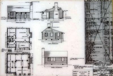
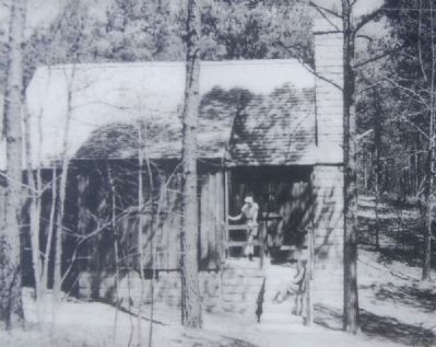
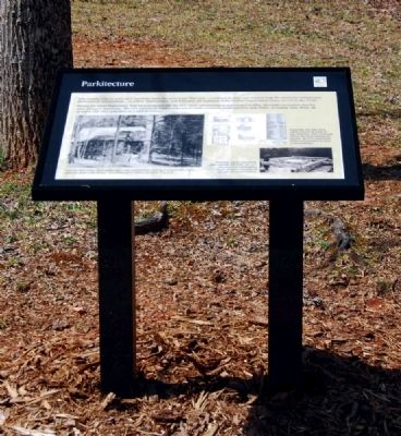
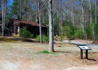
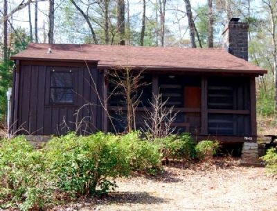
Ever wonder why so many park buildings share the same look? That style -- rendered in stone and wood to help the structures complement their natural surroundings -- is called "parkitecture" and it became the hallmark of the Civilian Conservation Corps, of CCC, in the 1930s.
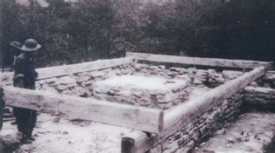
During the Great Depression, New Deal programs lie the CCC eased unemployment and created healthy, affordable recreation sites for cash-strapped Americans. The CCC used local lumber and rock to build seventeen South Carolina State Parks, including Table Rock, all of which still offer relaxation in a natural setting.
Erected by South Carolina Department of Parks, Recreation and Tourism.
Topics and series. This historical marker is listed in these topic lists: Government & Politics • Natural Features • Natural Resources • Notable Places. In addition, it is included in the Civilian Conservation Corps (CCC) series list.
Location. 35° 1.785′ N, 82° 41.983′ W. Marker is in Pickens, South Carolina, in Pickens County. Marker can be reached from West Gate Road. The marker is located near Cabins 1 and 2 on the grounds of Table Rock State Park. Touch for map. Marker is in this post office area: Pickens SC 29671, United States of America. Touch for directions.
Other nearby markers. At least 10 other markers are within 5 miles of this marker, measured as the crow flies. The Civilian Conservation Corps (approx. 0.2 miles away); a different marker also named Civilian Conservation Corps (approx. 0.3 miles away); A CCC Classic (approx. 0.3 miles away); Table Rock State Park (approx. 0.4 miles away); Beliefs Set in Stone (approx. half a mile away); Granite and Gravity (approx. ¾ mile away); Pumpkintown (approx. 3.3 miles away); Cornelius Keith - 1715-1808 (approx. 3½ miles away); Cornelius Keith (approx. 4.1 miles away); Oolenoy Baptist Church (approx. 4.1 miles away). Touch for a list and map of all markers in Pickens.
Also see . . .
1. Table Rock State Park. Table Rock State Park is a 3,083-acre (12.48 km2) park at the edge of the Blue Ridge Mountains in northern Pickens County, South Carolina. (Submitted on April 27, 2010, by Brian Scott of Anderson, South Carolina.)
2. Table Rock State Park Historic District. Table Rock State Park Historic District is significant for its cultural and social relationship to the history and prehistory of the area within the state park boundaries and is also architecturally significant as an example of the construction of a state park by the Civilian Conservation Corps (CCC). (Submitted on April 27, 2010, by Brian Scott of Anderson, South Carolina.)
3. Civilian Conservation Corps. The Civilian Conservation Corps
(CCC) was a public work relief program for unemployed young men age 18-24, providing unskilled manual labor related to the conservation and development of natural resources in rural areas of the United States from 1933 to 1942. (Submitted on April 27, 2010, by Brian Scott of Anderson, South Carolina.)
4. National Park Service Rustic. National Park Service Rustic, also colloquially known as Parkitecture, is a style of architecture that arose in the United States National Park System to create buildings that harmonized with their natural environment. (Submitted on April 27, 2010, by Brian Scott of Anderson, South Carolina.)
Credits. This page was last revised on November 23, 2020. It was originally submitted on April 27, 2010, by Brian Scott of Anderson, South Carolina. This page has been viewed 1,248 times since then and 14 times this year. Photos: 1, 2, 3, 4, 5, 6, 7, 8. submitted on April 27, 2010, by Brian Scott of Anderson, South Carolina.

