Pine Springs in Culberson County, Texas — The American South (West South Central)
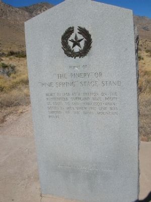
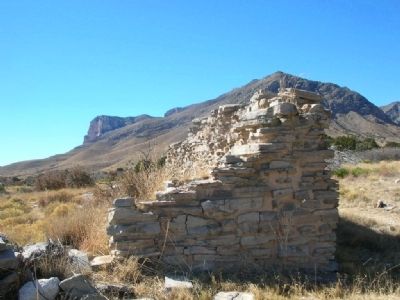
Ruins of "The Pinery" or "Pine Spring" Stage Stand
Erected 1936 by State of Texas. (Marker Number 7929.)
Topics and series. This historical marker is listed in this topic list: Roads & Vehicles. In addition, it is included in the Butterfield Overland Mail, and the Texas 1936 Centennial Markers and Monuments series lists. A significant historical year for this entry is 1858.
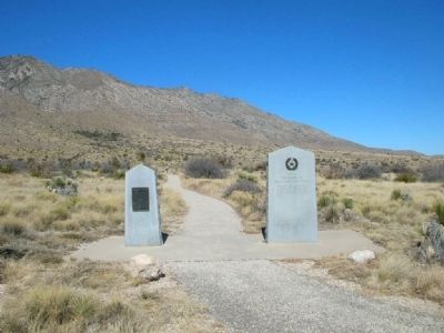
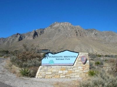
Location. 31° 53.599′ N, 104° 49.035′ W. Marker is in Pine Springs, Texas, in Culberson County. Marker is on U.S. 180/62, on the left when traveling east. Several ruins are found along a 0.3 mile interpretive walking trail in Guadalupe Mountains National Park. The trail begins at the Pine Springs Visitor Center. Alternatively, the is a small parking area off the highway next to the marker which allows you to bypass the majority of the walking trail. Touch for map. Marker is in this post office area: Salt Flat TX 79847, United States of America. Touch for directions.
Other nearby markers. At least 8 other markers are within 4 miles of this marker, measured as the crow flies. The Airmen (here, next to this marker); Butterfield Overland Mail (within shouting distance of this marker); Groundbreaking for the Pine Springs Visitor Center (approx. 0.3 miles away); The "Committee of Five" (approx. 0.3 miles away); Stephen Tyng Mather (approx. 0.3 miles away); Frijole Historic Site (approx. 1.4 miles away); Frijole School House (approx. 1.4 miles away); Guadalupe Peak (approx. 3.2 miles away). Touch for a list and map of all markers in Pine Springs.
Credits. This page was last revised on April 24, 2018. It was originally submitted on March 1, 2008, by Julie Szabo of Oldsmar, Florida. This page has been viewed 1,742 times since then and 65 times this year. Last updated on April 23, 2018, by Brian Anderson of Humble, Texas. Photos: 1, 2, 3, 4. submitted on March 1, 2008, by Julie Szabo of Oldsmar, Florida. • Bill Pfingsten was the editor who published this page.


