Near Fisk in Madison County, Alabama — The American South (East South Central)
Tennessee / Alabama
Lincoln County /
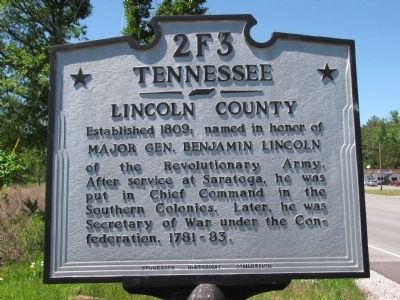
Tennessee. Lincoln County. Established 1809; named in honor of MAJOR GEN. BENJAMIN LINCOLN of the Revolutionary Army. After service at Saratoga, he was put in Chief Command in the Southern Colonies. Later, he was Secretary of War under the Confederation, 1781-83.
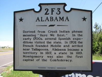
Alabama. Derived from Creek Indian phrase meaning "Here We Rest." In the early 1700s, several Spanish expeditions visited the state. In 1702 the French founded Mobile and settled near Tallapoosa. Alabama became a territory in 1817, a state in 1819. Montgomery was also the first capital of the Confederacy.
Erected by Tennessee Historical Commission. (Marker Number 2F3.)
Topics. This historical marker is listed in these topic lists: Native Americans • Political Subdivisions • Settlements & Settlers • War, US Revolutionary. A significant historical year for this entry is 1809.
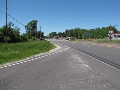
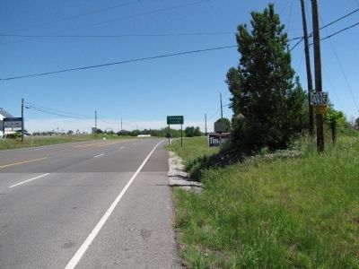
Location. 34° 59.448′ N, 86° 34.285′ W. Marker is near Fisk, Alabama, in Madison County. Marker is at the intersection of Huntsville Highway (U.S. 231/431) and Hunter Road, on the left when traveling north on Huntsville Highway. Touch for map. Marker is at or near this postal address: 3362 Huntsville Highway, Hazel Green AL 35750, United States of America. Touch for directions.
Other nearby markers. At least 8 other markers are within 9 miles of this marker, measured as the crow flies. Initial Survey Point (a few steps from this marker); Alfred Bearden (approx. 5.6 miles away in Tennessee); Site of Quick Airplane (approx. 6.3 miles away); John Williams Walker (1783-1823) (approx. 7.1 miles away); Poor Farm Cemetery (approx. 8.1 miles away in Tennessee); The Lincoln County Poor Farm (approx. 8.1 miles away in Tennessee); Pioneer (Routt - Wells) Cemetery (approx. 8.3 miles away in Tennessee); Madison County Poorhouse Farm Site and Cemetery (approx. 8.7 miles away).
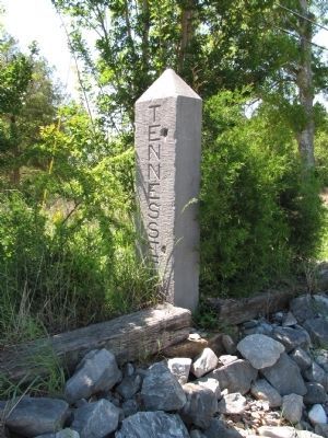
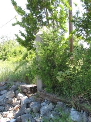
More about this marker. This Tennessee marker has been erected on Alabama soil! It is south of the monument (Photos 5 and 6) that marks the border between the two states.
Credits. This page was last revised on June 16, 2016. It was originally submitted on May 10, 2010, by Lee Hattabaugh of Capshaw, Alabama. This page has been viewed 1,621 times since then and 36 times this year. Photos: 1, 2, 3, 4, 5, 6. submitted on May 10, 2010, by Lee Hattabaugh of Capshaw, Alabama. • Bill Pfingsten was the editor who published this page.
