West Bend in Washington County, Wisconsin — The American Midwest (Great Lakes)
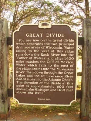
Great Divide
Erected 1978 by Wisconsin State Historical Society. (Marker Number 248.)
Topics and series. This historical marker is listed in these topic lists: Natural Resources • Waterways & Vessels. In addition, it is included in the Wisconsin Historical Society series list.
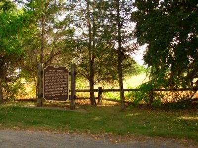
Location. 43° 25.623′ N, 88° 15.833′ W. Marker is in West Bend, Wisconsin, in Washington County. Marker is on State Highway 33, ¼ mile west of State Highway 144. South side of highway. Touch for map. Marker is in this post office area: West Bend WI 53090, United States of America. Touch for directions.
Other nearby markers. At least 8 other markers are within 4 miles of this marker, measured as the crow flies. First Rural Power Line (approx. 2.4 miles away); Timmer’s Resort (approx. 3½ miles away); Cedar Lake Yacht Club (approx. 3.7 miles away); Stephan F. Mayer Home (approx. 3.9 miles away); The West Bend Aluminum Company (approx. 3.9 miles away); Washington House (approx. 4 miles away); Old Settlers Triangle (approx. 4 miles away); Bernhard "Ben" C. Ziegler (approx. 4.1 miles away). Touch for a list and map of all markers in West Bend.
Credits. This page was last revised on June 16, 2016. It was originally submitted on May 14, 2010, by Paul Fehrenbach of Germantown, Wisconsin. This page has been viewed 2,937 times since then and 89 times this year. Photos: 1, 2. submitted on May 14, 2010, by Paul Fehrenbach of Germantown, Wisconsin. • Bill Pfingsten was the editor who published this page.

