Near Charleston in Charleston County, South Carolina — The American South (South Atlantic)
Controlling the Harbor
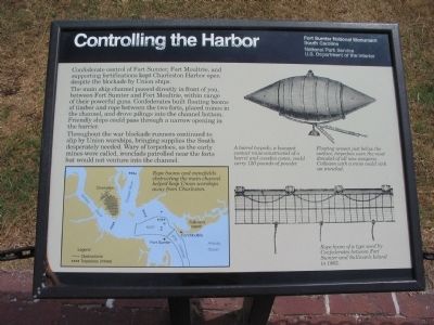
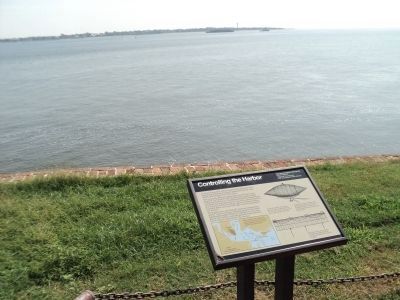
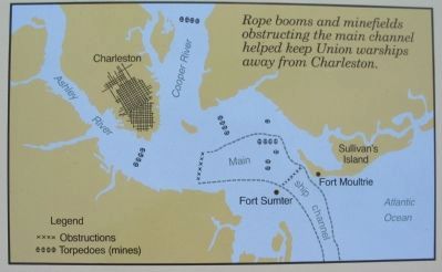
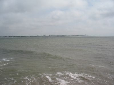
The main ship channel passed directly in front of you, between Fort Sumter and Fort Moultrie, within range of their powerful guns. Confederates built floating booms of timber and rope between the two forts, placed mines in the channel, and drove pilings into the channel bottom. Friendly ships could pass through a narrow opening in the barrier.
Throughout the war blockade runners continued to slip by Union warships, bringing supplies the South desperately needed. Wary of torpedoes, as the early mines were called, ironclads patrolled near the forts but would not venture into the channel.
Erected by Fort Sumter National Monument, South Carolina - National Park Service - U.S. Department of the Interior.
Topics. This historical marker is listed in this topic list: War, US Civil.
Location. 32° 45.138′ N, 79° 52.441′ W. Marker is near Charleston, South Carolina, in Charleston County. Marker is located at Fort Sumter National Monument and only reached by boat. See links below for more information about access to the site. Touch for map. Marker is in this post office area: Charleston SC 29412, United States of America. Touch for directions.
Other nearby markers. At least 8 other markers are within walking distance of this marker. H.L. Hunley (here, next to this marker); Blockade Runners (a few steps from this marker); 6.4-Inch (100-Pounder) Parrott (a few steps from this marker); The Columbiad (within shouting distance of this marker); Ironclads Attack (within shouting distance of this marker); Rearming the Fort (within shouting distance of this marker); 8-inch (200 Pounder) Parrott (within shouting distance of this marker); Star of the West (within shouting distance of this marker). Touch for a list and map of all markers in Charleston.
More about this marker. On the lower left is a map of the harbor showing the locations of the obstacles at the entrance. Rope booms and minefields obstructing the main channel helped keep Union warships away from Charleston.
In the upper right is a line drawing of a torpedo. A barrel torpedo, a buoyant contact mine constructed of a barrel and wooden cones, could carry 120 pounds of powder. Floating unseen just below the surface, torpedoes were the most dreaded of all new weapons. Collision with a mine could sink an ironclad.
At the lower right is a line drawing of a Rope boom of a type used by Confederates between Fort Sumter and Sullivan's Island in 1863.
Credits. This page was last revised on October 23, 2020. It was originally submitted on May 14, 2010, by Craig Swain of Leesburg, Virginia. This page has been viewed 1,037 times since then and 38 times this year. Photos: 1. submitted on May 14, 2010, by Craig Swain of Leesburg, Virginia. 2. submitted on August 17, 2013, by Bill Coughlin of Woodland Park, New Jersey. 3, 4, 5. submitted on May 14, 2010, by Craig Swain of Leesburg, Virginia.
