Near Toledo Bend in Sabine County, Texas — The American South (West South Central)
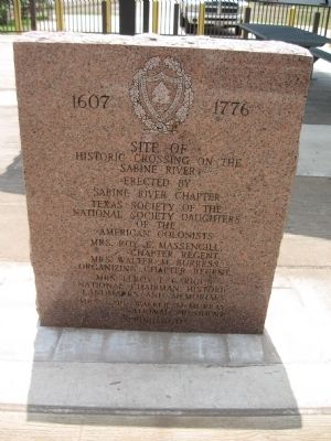
Site of Historic Crossing on the Sabine River
1607 1776
Historic Crossing on the
Sabine River
Erected by
Sabine River Chapter
Texas Society of the
National Society Daughters
of the American Colonists
Mrs. Roy E. Massengill, Chapter Regent
Mrs. Walter M. Burress, Organizing Chapter Regent
Mrs. Leroy L. Garigus, National Chairman, Historic Landmarks and Memorials
Mrs. Cari Walker McMurray, National President
Spring 1970
Erected 1970 by National Society Daughters of the American Colonists.
Topics and series. This historical marker is listed in this topic list: Waterways & Vessels. In addition, it is included in the Daughters of the American Colonists series list. A significant historical year for this entry is 1970.
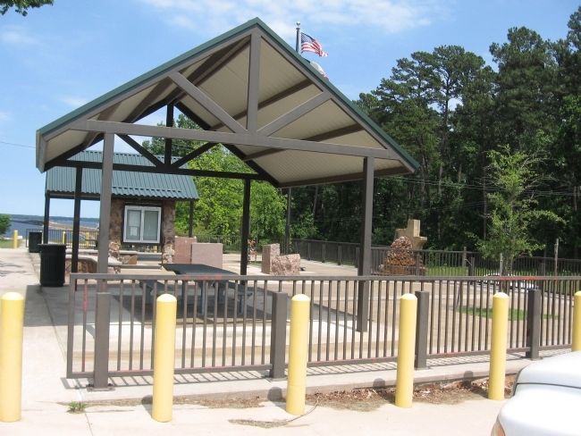
Location. 31° 27.727′ N, 93° 45.226′ W. Marker is near Toledo Bend, Texas, in Sabine County. Marker is on State Highway 21, on the right when traveling east. Located in picnic area approximately half mile from Sabine River. Touch for map. Marker is in this post office area: Hemphill TX 75948, United States of America. Touch for directions.
Other nearby markers. At least 8 other markers are within 6 miles of this marker, measured as the crow flies. Gaines Memorial Bridge (here, next to this marker); Site of Sabine River Crossing (here, next to this marker); Texas Louisiana Boundary (here, next to this marker); Kings Highway (approx. 1.8 miles away); The History of Toledo Bend (approx. 3.3 miles away in Louisiana); Pendleton Crossing (approx. 3.4 miles away in Louisiana); El Camino Real (approx. 3.4 miles away in Louisiana); Bethany Baptist Church (approx. 5.8 miles away). Touch for a list and map of all markers in Toledo Bend.
Credits. This page was last revised on November 24, 2017. It was originally submitted on May 16, 2010, by Steve Gustafson of Lufkin, Texas. This page has been viewed 1,323 times since then and 25 times this year. Photos: 1, 2. submitted on May 16, 2010, by Steve Gustafson of Lufkin, Texas. • Kevin W. was the editor who published this page.

