Near Atlantic Beach in Carteret County, North Carolina — The American South (South Atlantic)
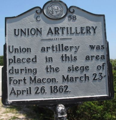
Union Artillery
Erected 1992 by Division of Archives and History. (Marker Number C-58.)
Topics and series. This historical marker is listed in this topic list: War, US Civil. In addition, it is included in the North Carolina Division of Archives and History series list. A significant historical date for this entry is March 23, 1862.
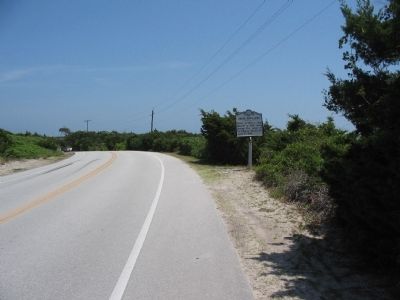
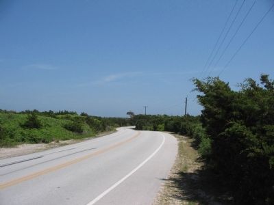
Location. 34° 41.704′ N, 76° 41.384′ W. Marker is near Atlantic Beach, North Carolina, in Carteret County. Marker is on East Fort Macon Road, on the right when traveling east. Located on the entrance road to Fort Macon State Park. Touch for map. Marker is in this post office area: Atlantic Beach NC 28512, United States of America. Touch for directions.
Other nearby markers. At least 8 other markers are within walking distance of this marker. Carronade Battery (approx. 0.6 miles away); Mortar Battery (approx. 0.6 miles away); Rifled 32-pounder (approx. 0.6 miles away); Model 1841 6-pounder Field Cannon (approx. 0.6 miles away); Model 1861 10-inch Siege Mortars (approx. 0.6 miles away); Welcome to Fort Macon (approx. 0.6 miles away); 30-Pounder Parrott Rifle (approx. 0.6 miles away); Hot Shot Furnace (approx. 0.6 miles away). Touch for a list and map of all markers in Atlantic Beach.
Credits. This page was last revised on March 17, 2024. It was originally submitted on May 29, 2010, by Craig Swain of Leesburg, Virginia. This page has been viewed 846 times since then and 19 times this year. Photos: 1, 2, 3. submitted on May 29, 2010, by Craig Swain of Leesburg, Virginia.


