Castalia in Erie County, Ohio — The American Midwest (Great Lakes)
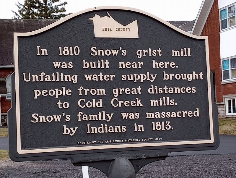
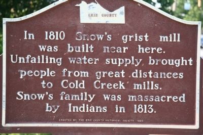
Snow's Grist Mill
was built near here.
Unfailing water supply brought
people from great distances
to Cold Creek mills.
Snow's family was massacred
by Indians in 1813
Erected 1969 by Erie County Historical Society.
Topics. This historical marker is listed in these topic lists: Industry & Commerce • Native Americans • Settlements & Settlers • War of 1812. A significant historical year for this entry is 1810.
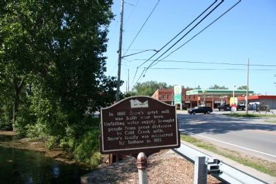
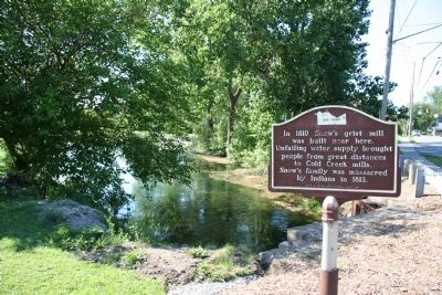
Location. 41° 23.955′ N, 82° 48.509′ W. Marker is in Castalia, Ohio, in Erie County. Marker is at the intersection of South Washington Street (Ohio Route 101) and Reed Court, on the right when traveling east on South Washington Street. This historical marker is located just southeast of downtown Castalia, where State Route 101 crosses Cold Creek, on the south side of the roadway. Touch for map. Marker is at or near this postal address: 197 South Washington Street, Castalia OH 44824, United States of America. Touch for directions.
Other nearby markers. At least 8 other markers are within 6 miles of this marker, measured as the crow flies. Castalia Veterans Memorial (about 400 feet away, measured in a direct line); a different marker also named Castalia Veterans Memorial (about 700 feet away); SFC Charles L. Adkins (about 800 feet away); Village of Venice (approx. 3.8 miles away); Fort Sandusky (approx. 3.8 miles away); Medusa Portland Cement Company (approx. 4.8 miles away); Bloomingville Settlement (approx. 5.4 miles away); Cholera Cemetery / In Honor of the Doctors (approx. 5.6 miles away). Touch for a list and map of all markers in Castalia.
Credits. This page was last revised on March 29, 2023. It was originally submitted on June 10, 2010, by Dale K. Benington of Toledo, Ohio. This page has been viewed 1,589 times since then and 200 times this year. Photos: 1. submitted on March 27, 2023, by Craig Doda of Napoleon, Ohio. 2, 3, 4. submitted on June 10, 2010, by Dale K. Benington of Toledo, Ohio.


