Orangeburg in Orangeburg County, South Carolina — The American South (South Atlantic)
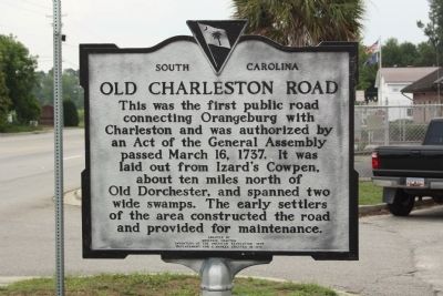
Old Charleston Road
Erected 1970 by Moultrie Chapter Daughters of the American Revolution, replacing a marker erected in 1916. (Marker Number 38-9.)
Topics and series. This historical marker is listed in these topic lists: Roads & Vehicles • Settlements & Settlers. In addition, it is included in the Daughters of the American Revolution series list. A significant historical date for this entry is March 16, 1737.
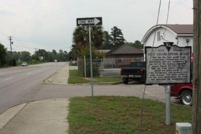
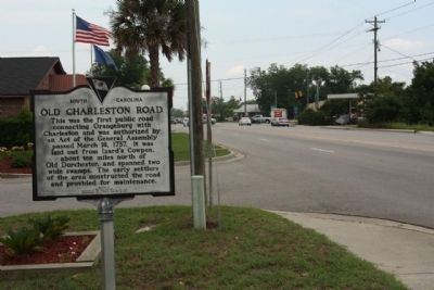
Location. 33° 28.252′ N, 80° 50.764′ W. Marker is in Orangeburg, South Carolina, in Orangeburg County. Marker is on Charleston Highway (U.S. 178), on the right when traveling east. Located 1 block south of intersection with US 21, at the SCDOT Driveway. Touch for map. Marker is in this post office area: Orangeburg SC 29115, United States of America. Touch for directions.
Other nearby markers. At least 8 other markers are within 2 miles of this marker, measured as the crow flies. Williams Chapel A.M.E. Church (approx. 1.4 miles away); Judge Glover's Home (approx. 1.6 miles away); Church of the Redeemer (approx. 1.6 miles away); Veterans Memorial Park (approx. 1.7 miles away); Orangeburg Confederate Memorial (approx. 1.7 miles away); Jewish Merchants/Jewish Life (approx. 1.7 miles away); The Two Old Guns Of Captain Henry Felder (approx. 1.7 miles away); Court House Square (approx. 1.7 miles away). Touch for a list and map of all markers in Orangeburg.
Credits. This page was last revised on June 16, 2016. It was originally submitted on July 4, 2010, by Mike Stroud of Bluffton, South Carolina. This page has been viewed 1,482 times since then and 76 times this year. Photos: 1, 2, 3. submitted on July 4, 2010, by Mike Stroud of Bluffton, South Carolina.


