Near Blairsville in Union County, Georgia — The American South (South Atlantic)
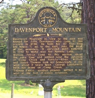
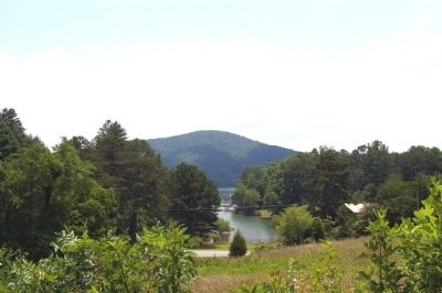
Davenport Mountain
>>>------>
William Poteet came to this section about the same time and settled near the junction of Camp Creek and Nottely River. William and Hosea Thomas took up homesteads at the west about 7 years later. George Loudermilk built his home on Camp Creek.
Thomas Lance, another pioneer, settled 4 mi. west at the foot of Lance Mountain.
Erected 1954 by Georgia Historical Commission. (Marker Number 144-1.)
Topics and series. This historical marker is listed in these topic lists: Settlements & Settlers • Waterways & Vessels. In addition, it is included in the Georgia Historical Society series list. A significant historical year for this entry is 1838.
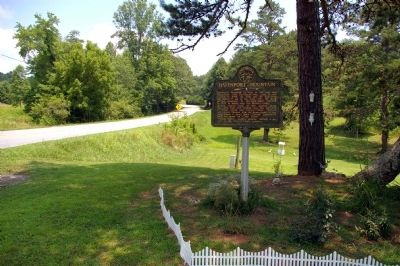
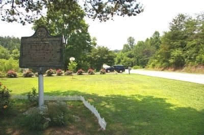
Location. 34° 56.431′ N, 84° 6.744′ W. Marker is near Blairsville, Georgia, in Union County. Marker is on Nottely Dam Road (Georgia Route 325) 0 miles north of Sunset Trail, on the right when traveling north. Touch for map. Marker is at or near this postal address: 4394 Nottely Dam Road, Blairsville GA 30512, United States of America. Touch for directions.
Other nearby markers. At least 8 other markers are within 11 miles of this marker, measured as the crow flies. North Carolina / Georgia (approx. 5 miles away in North Carolina); Union County (approx. 9.8 miles away); Union County Honor Roll World War I (approx. 9.8 miles away); Original Clock & Bell Mechanism (approx. 9.8 miles away); Union County Georgia War Memorial (approx. 9.8 miles away); Souther Mill (approx. 10 miles away); Union County War Memorial (approx. 10 miles away); Site of Fort Butler (approx. 10.6 miles away in North Carolina). Touch for a list and map of all markers in Blairsville.
Credits. This page was last revised on February 1, 2020. It was originally submitted on July 14, 2010, by David Seibert of Sandy Springs, Georgia. This page has been viewed 1,603 times since then and 58 times this year. Photos: 1, 2, 3, 4, 5. submitted on July 14, 2010, by David Seibert of Sandy Springs, Georgia. • Craig Swain was the editor who published this page.


