Huntersville in Pocahontas County, West Virginia — The American South (Appalachia)
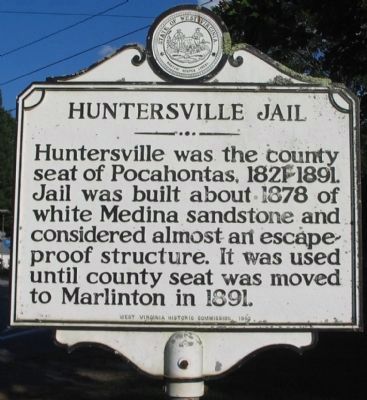
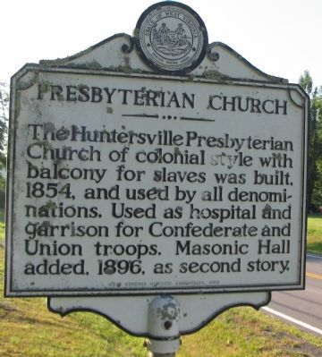
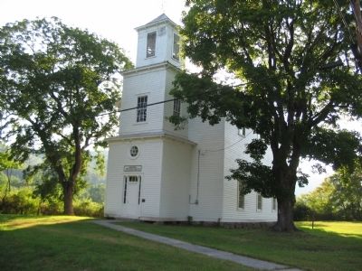
Huntersville Jail / Presbyterian Church
Erected 1963 by West Virginia Historic Commission.
Topics and series. This historical marker is listed in these topic lists: Churches & Religion • Fraternal or Sororal Organizations • Government & Politics • War, US Civil. In addition, it is included in the West Virginia Archives and History series list. A significant historical year for this entry is 1878.
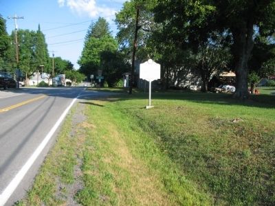
Location. 38° 11.4′ N, 80° 1.062′ W. Marker is in Huntersville, West Virginia, in Pocahontas County. Marker is at the intersection of State Highway 39 and Beaver Creek Road (County Route 21), on the right when traveling east on State Highway 39. Touch for map. Marker is in this post office area: Marlinton WV 24954, United States of America. Touch for directions.
Other nearby markers. At least 8 other markers are within 5 miles of this marker, measured as the crow flies. Huntersville (about 600 feet away, measured in a direct line); Tuscarora (Clinton) Sand (approx. 0.8 miles away); Camp Northwest (approx. 2.6 miles away); Marlinton: Heritage (approx. 4.7 miles away); Greenbrier Covered Bridge (approx. 4.8 miles away); Frank and Anna Hunter House (approx. 5 miles away); Welcome to Pocahontas County (approx. 5 miles away); Marlinton (approx. 5 miles away).
Credits. This page was last revised on June 16, 2016. It was originally submitted on August 8, 2010, by Craig Swain of Leesburg, Virginia. This page has been viewed 924 times since then and 36 times this year. Photos: 1, 2, 3, 4. submitted on August 8, 2010, by Craig Swain of Leesburg, Virginia.


