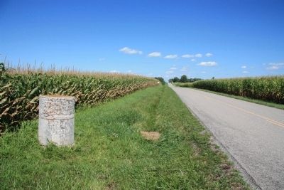
Near Yelverton in Hardin County, Ohio — The American Midwest (Great Lakes)
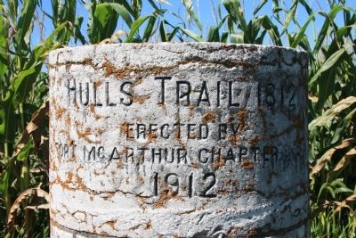
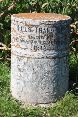
Hull's Trail 1812
Erected By
Fort McArthur Chapter, D.A.R.
1912
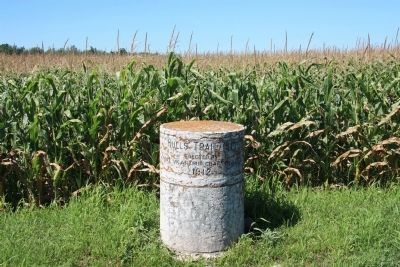
Erected 1912 by Fort McArthur Chapter, D.A.R.
Topics and series. This historical marker is listed in these topic lists: Roads & Vehicles • War of 1812. In addition, it is included in the Daughters of the American Revolution series list. A significant historical year for this entry is 1812.
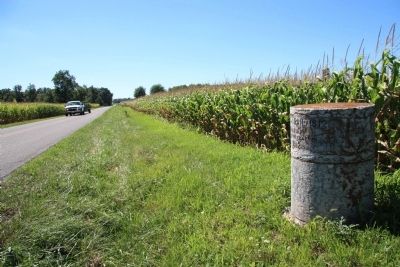
Location. 40° 32.883′ N, 83° 43.094′ W. Marker is near Yelverton, Ohio, in Hardin County. Marker is on County Route 200, 0.2 miles west of County Route 115, on the right when traveling west. Touch for map. Marker is in this post office area: Kenton OH 43326, United States of America. Touch for directions.
Other nearby markers. At least 8 other markers are within 5 miles of this marker, measured as the crow flies. Private Jacob Parrott (approx. 2˝ miles away); Village Marshall Murray Griffin (approx. 2.9 miles away); Belle Center Jail (approx. 2.9 miles away); LCPL Lewis E. Hughes II (approx. 2.9 miles away); Belle Center Spanish American War Memorial (approx. 3.1 miles away); a different marker also named Hull's Trail 1812 (approx. 3.2 miles away); Belle Center War Memorial (approx. 3.2 miles away); Hull's Trail, 1812 (approx. 4.8 miles away).
More about this marker. With the 100 year anniversary of the War of 1812 approaching, Hardin County found itself making plans to tear down their old courthouse. The county leaders decided to keep the front stone columns from the old courthouse so that they could use them as markers for "Hull's Trail," erecting them as trail markers in 1912, as they celebrated their county's role in the 100 year anniversary of the War of 1812.
This marker is part of one of the old Hardin County courthouse columns and helps (along with several other column pieces in several other locations throughout Hardin County) to mark the path of Hull's Trail from Urbana, Ohio to Detroit, Michigan
Related markers. Click here for a list of markers that are related to this marker. To better understand the relationship, study each marker in the order shown.
Also see . . . Hull's Road. This is a link to information provided by Ohio History Central, an online encyclopedia of Ohio History. (Submitted on August 18, 2010, by Dale K. Benington of Toledo, Ohio.)
Credits. This page was last revised on June 16, 2016. It was originally submitted on August 17, 2010, by Dale K. Benington of Toledo, Ohio. This page has been viewed 1,511 times since then and 19 times this year. Photos: 1, 2. submitted on August 17, 2010, by Dale K. Benington of Toledo, Ohio. 3, 4, 5. submitted on August 18, 2010, by Dale K. Benington of Toledo, Ohio.
