Near Fredericksburg in Spotsylvania County, Virginia — The American South (Mid-Atlantic)
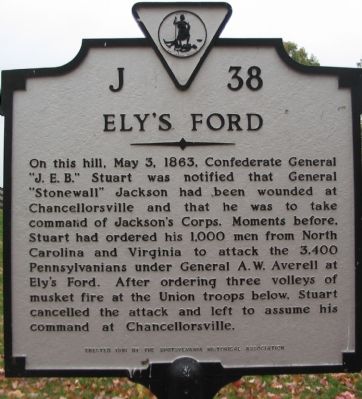
Ely’s Ford
Erected 1981 by Spotsylvania Historical Association. (Marker Number J-38.)
Topics and series. This historical marker is listed in this topic list: War, US Civil. In addition, it is included in the Virginia Department of Historic Resources (DHR) series list. A significant historical month for this entry is May 1692.
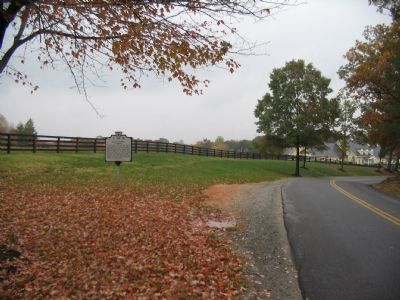
Location. 38° 21.383′ N, 77° 40.698′ W. Marker is near Fredericksburg, Virginia, in Spotsylvania County. Marker is on Ely's Ford Road (County Route 610), on the right when traveling north. Touch for map. Marker is at or near this postal address: 10413 Elys Ford Rd, Fredericksburg VA 22407, United States of America. Touch for directions.
Other nearby markers. At least 8 other markers are within 3 miles of this marker, measured as the crow flies. Pressing the Attack (approx. 2.8 miles away); The Flying Dutchmen (approx. 2.8 miles away); Jackson Attacks (approx. 2.8 miles away); Chancellorsville Campaign (approx. 2.8 miles away); Tyler’s Withdrawal To This Line (approx. 2.9 miles away); Colquitt Turns Tyler’s Flank (approx. 2.9 miles away); Colquitt’s Attack (approx. 2.9 miles away); Chancellorsville (approx. 2.9 miles away). Touch for a list and map of all markers in Fredericksburg.
Also see . . . Gen. Stuart's Report on the Chancellorsville Campaign. Shotgun's Civil War Home website entry:
Stuart wrote that a staff officer "informed me of the sad calamities which for the time deprived the troops of the leadership of both Jackson and Hill, and the urgent demand for me to come and take command as quickly as possible...." (Submitted on November 11, 2007, by Craig Swain of Leesburg, Virginia.)
Additional commentary.
1. Ely's Ford in the War
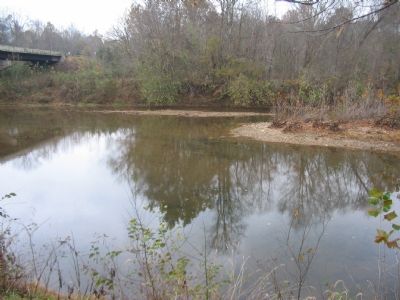
Ely's Ford featured prominently in several Federal movements in the Civil War. In August 1862, major elements of the Federal army passed through in what would lead to the Second Battle of Manassas. As mentioned on the marker, both sides maneuvered through the ford during the Chancellorsville Campaign, in April-May 1863. Later in the fall of that year, the elements Federal Army of the Potomac crossed here in the Mine Run Campaign. Finally portions of the same army crossed here to start the Overland Campaign, marching down the road to the battle of the Wilderness in May 1864.
— Submitted November 11, 2007, by Craig Swain of Leesburg, Virginia.
Credits. This page was last revised on February 2, 2023. It was originally submitted on November 11, 2007, by Craig Swain of Leesburg, Virginia. This page has been viewed 2,842 times since then and 181 times this year. Photos: 1, 2, 3. submitted on November 11, 2007, by Craig Swain of Leesburg, Virginia.


