Mackinac Island in Mackinac County, Michigan — The American Midwest (Great Lakes)
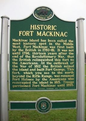
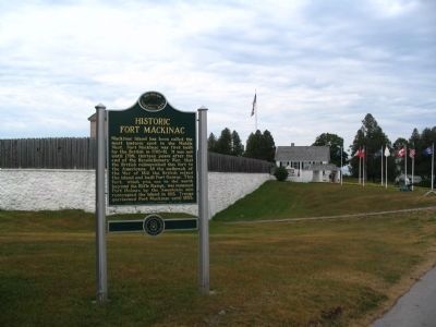
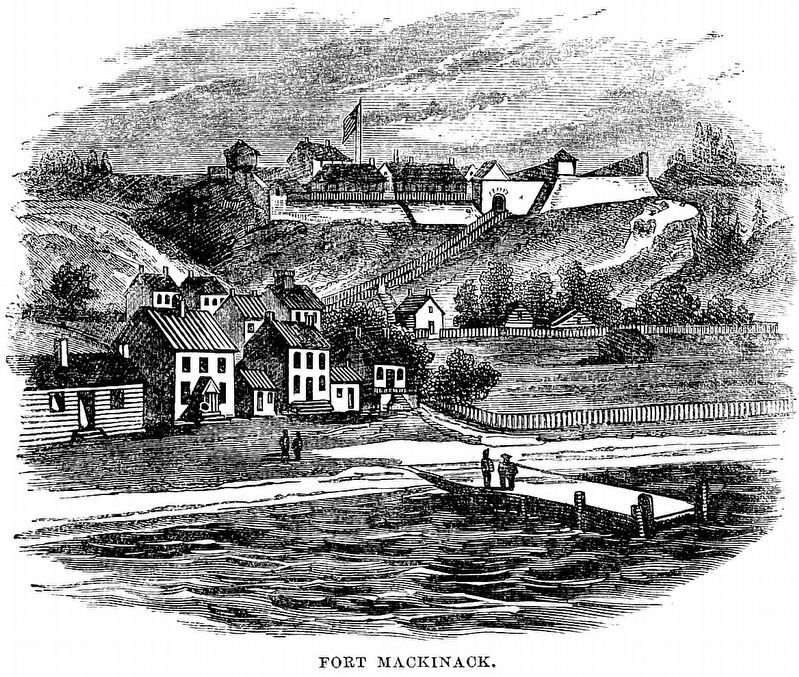
Historic Fort Mackinac
Erected by Michigan Historical Commission. (Marker Number 189.)
Topics and series. This historical marker is listed in these topic lists: Colonial Era • Forts and Castles • War of 1812 • War, US Revolutionary. In addition, it is included in the Michigan Historical Commission series list. A significant historical year for this entry is 1796.
Location. 45° 51.18′ N, 84° 37.032′ W. Marker is on Mackinac Island, Michigan, in Mackinac County. Marker is on Huron Road, on the right when traveling east. Touch for map. Marker is in this post office area: Mackinac Island MI 49757, United States of America. Touch for directions.
Other nearby markers. At least 8 other markers are within walking distance of this marker. Scout Barracks / Parade Ground (within shouting distance of this marker); Greany Grove (about 400 feet away, measured in a direct line); Dr. William Beaumont (about 400 feet away); Somewhere in Time Gazebo (about 500 feet away); The Fort Garden (about 700 feet away); Marquette (about 700 feet away); Trinity Church (about 700 feet away); Lawrence A. Young Cottage (approx. 0.2 miles away). Touch for a list and map of all markers in Mackinac Island.
Credits. This page was last revised on January 16, 2021. It was originally submitted on August 27, 2010. This page has been viewed 1,154 times since then and 11 times this year. Photos: 1. submitted on August 27, 2010, by Mh of Las Vegas, Nevada. 2. submitted on August 29, 2010, by Mh of Las Vegas, Nevada. 3. submitted on May 16, 2012, by Cameron Zwart of Belding, Michigan. 4. submitted on January 15, 2021, by Allen C. Browne of Silver Spring, Maryland. • Bill Pfingsten was the editor who published this page.


