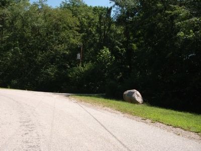
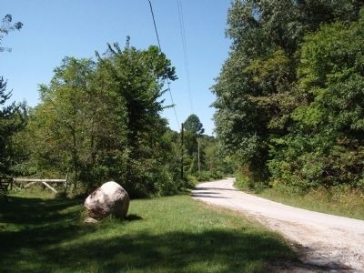
Near Pittsburg in Carroll County, Indiana — The American Midwest (Great Lakes)
Trail of Death
— Pleasant Run —
Inscription.
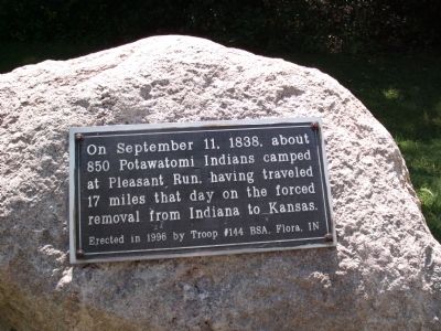
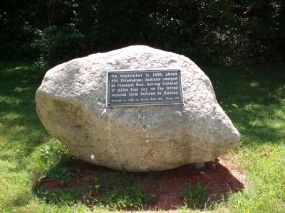
On September 11, 1838, about 850 Potawatomi Indians camped at Pleasant Run, having traveled 17 miles that day on the forced removal from Indiana to Kansas.
Erected 1996 by Kris Cannon (Boy Scout - Eagle Award), Troop #144 BSA, Flora, Indiana.
Topics and series. This historical marker is listed in these topic lists: Native Americans • Settlements & Settlers. In addition, it is included in the Potawatomi Trail of Death series list. A significant historical date for this entry is September 11, 1838.
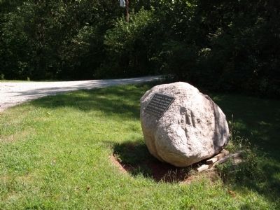
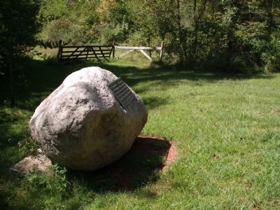
Location. 40° 37.588′ N, 86° 40.736′ W. Marker is near Pittsburg, Indiana, in Carroll County. Marker is at the intersection of County Road N 800 W and County Road W 550 N, on the right when traveling south on County Road N 800 W. Touch for map. Marker is in this post office area: Delphi IN 46923, United States of America. Touch for directions.
Other nearby markers. At least 8 other markers are within 3 miles of this marker, measured as the crow flies. The Wabash & Erie Canal (approx. 1.9 miles away); The Carrollton Bridge (approx. 1.9 miles away); Carrollton on the Wabash (approx. 1.9 miles away); Mentzer Tavern (approx. 2 miles away); Loom House Weaver (approx. 2.4 miles away); The Paper Maker's Shop (approx. 2.4 miles away); Cabin Homestead 1830s (approx. 2.4 miles away); Fouts Kitchen And Medical Plants Garden (approx. 2.4 miles away).
Also see . . . History and More Items:. This Official Web-site of the "Potawatomi Trail of Death Association" (Shirley Willard / Rochester, Indiana) is the center of activity and information - with many excellent links. (Submitted on September 7, 2010, by Al Wolf of Veedersburg, Indiana.)
Credits. This page was last revised on August 5, 2021. It was originally submitted on September 7, 2010, by Al Wolf of Veedersburg, Indiana. This page has been viewed 1,376 times since then and 16 times this year. Photos: 1, 2, 3, 4, 5, 6. submitted on September 7, 2010, by Al Wolf of Veedersburg, Indiana. • Bill Pfingsten was the editor who published this page.
