Near Garfield in Benton County, Arkansas — The American South (West South Central)
Fiery Finale on Ruddick's Field
Pea Ridge National Military Park
— National Park Service, U.S. Department of the Interior —
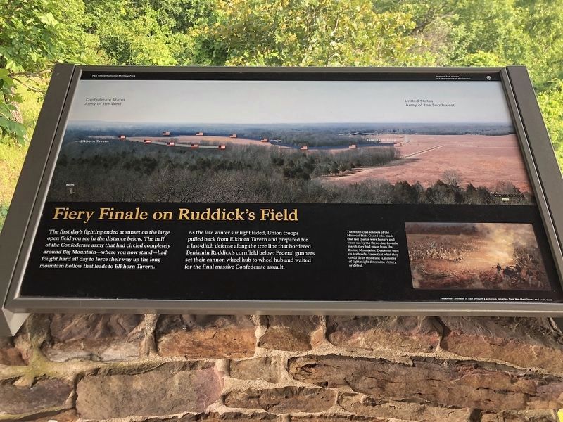
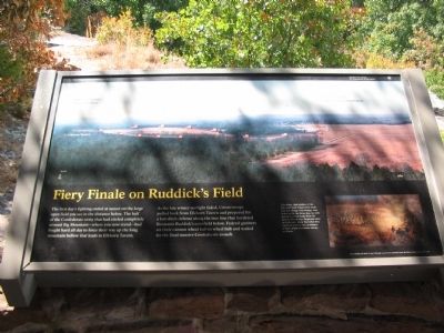
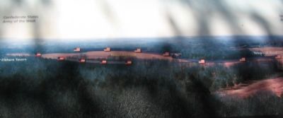
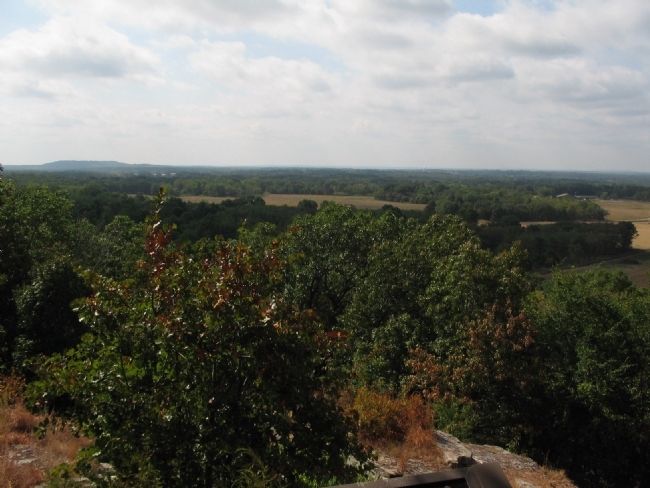
The first day's fighting ended at sunset on the large open field you see in the distance below. The half of the Confederate army that had circled completely around Big Mountain - where you now stand - had fought hard all day to force their way up the long mountain hollow that leads to Elkhorn Tavern.
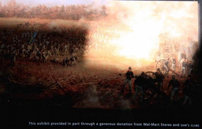
As the late winter sunlight faded, Union troops pulled back from Elkhorn Tavern and prepared for a last-ditch defense along the tree line that bordered Benjamin Ruddick's cornfield below. Federal gunners set their cannon wheel hub to wheel hub and waited for the final massive Confederate assault.
The white-clad soldiers of the Missouri State Guard who made that last charge were hungry and worn out by the three-day, 60-mile march they had made from the Boston Mountains. Desperate men on both sides knew that what they could do in those last 15 minutes of light might determine victory or defeat.
Erected by National Park Service, U.S. Department of the Interior.
Topics. This historical marker is listed in this topic list: War, US Civil.
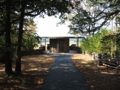
Location. 36° 27.251′ N, 94° 1.373′ W. Marker is near Garfield, Arkansas, in Benton County. Marker can be reached from Military Park Road (County Road 65), on the right when traveling south. Located at a gazebo a short walk from stop seven, the East Overlook, on the driving tour of Pea Ridge National Military Park. Touch for map. Marker is in this post office area: Garfield AR 72732, United States of America. Touch for directions.
Other nearby markers. At least 8 other markers are within walking distance of this marker. Night Moves (here, next to this marker); It was the Grandest Thing I Ever Saw... (here, next to this marker); Slaughter in the Rocks (here, next to this marker); Hard Fighting Near Leetown (a few steps from this marker); A Perfect Storm of Shot and Shell (approx. 0.3 miles away); Confederate Sunset (approx. 0.3 miles away); A Reunited Soldiery Monument (approx. 0.3 miles away); Pea Ridge Confederate Monument (approx. 0.4 miles away). Touch for a list and map of all markers in Garfield.
Also see . . .
1. Pea Ridge National Military Park. National Park Service website entry (Submitted on September 12, 2010, by Craig Swain of Leesburg, Virginia.)
2. Battle of Pea Ridge. American Battlefield Trust website entry (Submitted on May 3, 2021, by Larry Gertner of New York, New York.)
Credits. This page was last revised on June 19, 2023. It was originally submitted on September 12, 2010, by Craig Swain of Leesburg, Virginia. This page has been viewed 1,289 times since then and 36 times this year. Photos: 1. submitted on June 4, 2023, by Duane and Tracy Marsteller of Murfreesboro, Tennessee. 2. submitted on September 12, 2010, by Craig Swain of Leesburg, Virginia. 3. submitted on September 15, 2017, by Byron Hooks of Sandy Springs, Georgia. 4, 5, 6. submitted on September 12, 2010, by Craig Swain of Leesburg, Virginia.
