West Point in Columbiana County, Ohio — The American Midwest (Great Lakes)
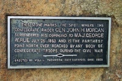
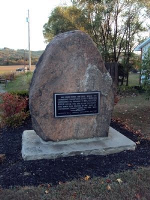
Morgan's Surrender
Erected 1909 by Will L. Thompson, East Liverpool, Ohio.
Topics. This historical marker is listed in this topic list: War, US Civil. A significant historical month for this entry is July 1864.
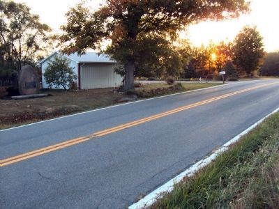
Location. 40° 41.833′ N, 80° 44.633′ W. Marker is in West Point, Ohio, in Columbiana County. Marker is on Ohio Route 518, 0.2 miles east of Local Highway 784, on the left when traveling west. Touch for map. Marker is at or near this postal address: 40132 Ohio Route 518, West Point OH 44492, United States of America. Touch for directions.
Other nearby markers. At least 8 other markers are within 6 miles of this marker, measured as the crow flies. West Point Vicinity (here, next to this marker); Gavers (approx. 0.4 miles away); Church Hill Road Bridge / Timber Covered Bridges (approx. 5 miles away); The Old Stone Tavern (approx. 5.3 miles away); Stone Lockplate (approx. 5.3 miles away); Lisbon (approx. 5.3 miles away); Columbiana County Courthouse (approx. 5.3 miles away); United States of America Congressional Medal of Honor Recipients (approx. 5.3 miles away).
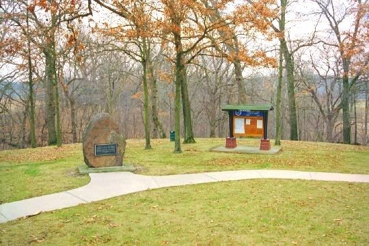
More about this marker. The marker has been moved to this location since the date the photograph was taken. It is now situated just off the side of the road, where, in the photo taken in the early 1990s, it can be seen next to a sidewalk off the road in a state-maintained roadside rest.
This from a July 21, 2003, Pittsburgh Post-Gazette article:
"So in the rolling hills of rural Columbiana County, the monument to Morgan's surrender remains almost hidden from view to drivers along State Road 518. Erected in 1909 and dedicated a year later, it was moved 45 years ago to the rest area from its original location about 200 yards east when the state failed to
secure rights to the property where the surrender occurred.
Just over four years ago, the Ohio Department of Transportation closed the rest stop as part of a statewide program to abandon rest areas without septic systems, said Joel Hunt, an ODOT spokesman in Columbus."
Related marker. Click here for another marker that is related to this marker. An Iowa monument for Jackson's Missouri guerrillas marks the farthest north that any Confederate soldiers reached during the war, about five miles farther than Morgan's cavalry reached in Ohio.
Credits. This page was last revised on March 27, 2019. It was originally submitted on September 14, 2010, by Jamie Abel of Westerville, Ohio. This page has been viewed 2,944 times since then and 74 times this year. Last updated on September 23, 2010, by Jamie Abel of Westerville, Ohio. Photos: 1. submitted on September 14, 2010, by Jamie Abel of Westerville, Ohio. 2, 3. submitted on October 1, 2010, by Jamie Abel of Westerville, Ohio. 4. submitted on September 14, 2010, by Jamie Abel of Westerville, Ohio. • Bill Pfingsten was the editor who published this page.


