Poplar Bluff in Butler County, Missouri — The American Midwest (Upper Plains)
Poplar Bluff
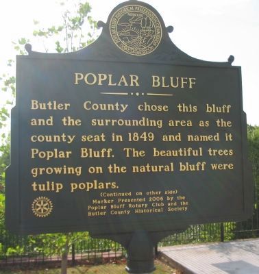
Butler County chose this bluff and the surrounding area as the county seat in 1849 and named it Poplar Bluff. The beautiful trees growing on the natural bluff were tulip poplars.
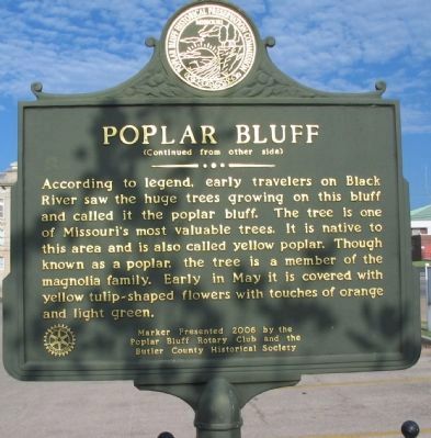
(Reverse):
According to legend, early travelers on Black River called it the poplar bluff. The tree is one of Missouri's most valuable trees. It is native to this area and is also called yellow poplar. Though known as a poplar, the tree is a member of the magnolia family. Early in May it is covered with yellow tulip-shaped flowers with touches of orange and light green.
Erected 2006 by Poplar Bluff Rotary Club and the Butler County Historical Society.
Topics and series. This historical marker is listed in these topic lists: Government & Politics • Natural Features. In addition, it is included in the Rotary International series list. A significant historical year for this entry is 1849.
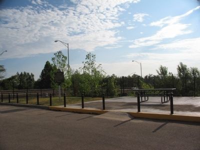
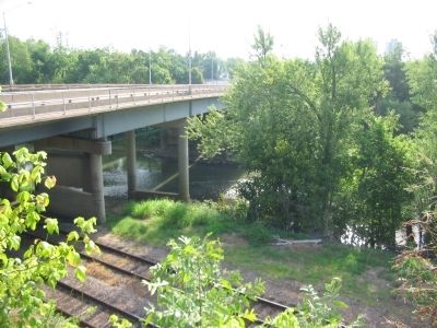
Location. 36° 45.385′ N, 90° 23.463′ W. Marker is in Poplar Bluff, Missouri, in Butler County. Marker is at the intersection of East Pine Street (U.S. 60) and North 2nd Street, on the right when traveling east on East Pine Street. Located in the county courthouse parking lot, near the bluff over the Black River. Touch for map. Marker is in this post office area: Poplar Bluff MO 63901, United States of America. Touch for directions.
Other nearby markers. At least 6 other markers are within walking distance of this marker. Pvt. Billie Gene Kanell (about 500 feet away, measured in a direct line); a different marker also named Poplar Bluff (about 500 feet away); Historic Brick Streets (about 600 feet away); First Presbyterian Church USA (about 700 feet away); Poplar Bluff Historic Depot (approx. 0.2 miles away); Original Town Poplar Bluff (approx. half a mile away).
Also see . . . Poplar Bluff. Wikipedia entry for the city. (Submitted on September 24, 2010, by Craig Swain of Leesburg, Virginia.)
Credits. This page was last revised on June 16, 2016. It was originally submitted on September 24, 2010, by Craig Swain of Leesburg, Virginia. This page has been viewed 955 times since then and 50 times this year. Photos: 1, 2, 3, 4. submitted on September 24, 2010, by Craig Swain of Leesburg, Virginia.


