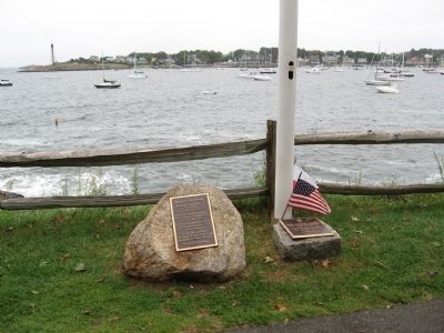
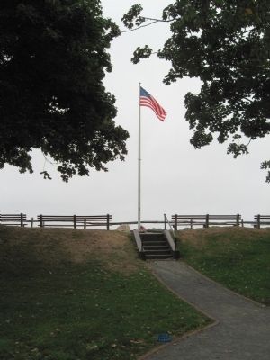
Marblehead in Essex County, Massachusetts — The American Northeast (New England)
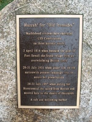
Huzzah! for "Old Ironsides"
Marblehead citizens have embraced
USS Constitution
on three historic visits:
3 April 1814 when beneath the guns of Fort Sewall she found refuge from an overwhelming British force
29-31 July 1931 when under tow on the nationwide pennies campaign tour to assure her preservation
20-21 July 1997 when during her Bicentennial she sailed from Boston and moored here to the cheers of thousands
A safe and welcoming harbor
Topics. This historical marker is listed in this topic list: Waterways & Vessels. A significant historical date for this entry is April 3, 1814.
Location. 42° 30.489′ N, 70° 50.502′ W. Marker is in Marblehead, Massachusetts, in Essex County. Marker can be reached from the intersection of Front Street and Fort Sewall Terrace, on the right when traveling north. Located in Fort Sewall. Touch for map. Marker is in this post office area: Marblehead MA 01945, United States of America. Touch for directions.
Other nearby markers. At least 8 other markers are within walking distance of this marker. Gen. Casimir Pulaski (here, next to this marker); Fort Sewall (a few steps from this marker); Fort Sewall Site Plan (a few steps from this marker); a different marker also named Fort Sewall (within shouting distance of this marker); a different marker also named Fort Sewall (about 300 feet away, measured in a direct line); Agnes Surriage Well (approx. ¼ mile away); Bailey's Head (approx. ¼ mile away); Old Burial Hill (approx. ¼ mile away). Touch for a list and map of all markers in Marblehead.
Credits. This page was last revised on September 29, 2020. It was originally submitted on October 5, 2010, by Michael Herrick of Southbury, Connecticut. This page has been viewed 801 times since then and 20 times this year. Photos: 1, 2, 3. submitted on October 5, 2010, by Michael Herrick of Southbury, Connecticut.


