Pilot Knob in Iron County, Missouri — The American Midwest (Upper Plains)
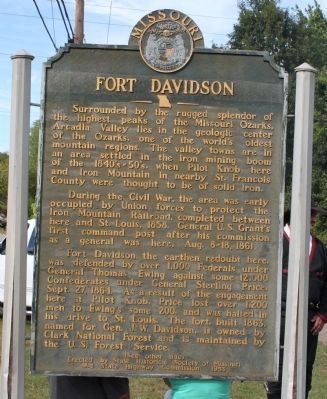
Fort Davidson
Surrounded by the rugged splendor of the highest peaks of the Missouri Ozarks, Arcadia Valley lies in the geologic center of the Ozarks, one of the world's oldest mountain regions. The valley towns are in an area settled in the iron mining boom of the 1840s'-50's, when Pilot Knob here and Iron Mountain in nearby St. Francois County were thought to be of solid iron.
During the Civil War, the area was early occupied by Union forces to protect the Iron Mountain Railroad, completed between here and St. Louis, 1858. General U.S. Grant's first command post after his commission as a general was here, Aug. 8-18, 1861.
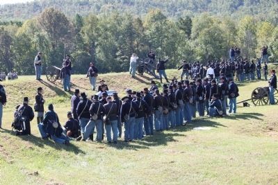
Fort Davidson, the earthen redoubt here, was defended by over 1,000 Federals under General Thomas Ewing against some 12,000 Confederates under General Sterling Price, Sept. 27, 1864. As a result of the engagement here at Pilot Knob, Price lost over 1,200 men to Ewing's some 200, and was halted in his drive to St. Louis. The fort, built 1863, named for Gen. J.W. Davidson, is owned by Clark National Forest and is maintained by the U.S. Forest Service.
(Back):
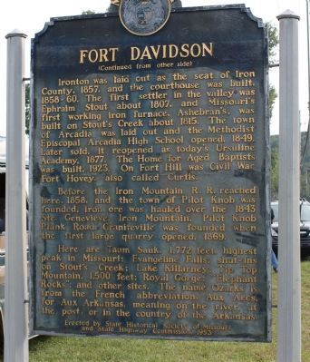
Before the Iron Mountain R.R. reached here, 1858, and the town of Pilot Knob was founded, iron ore was hauled over the 1843 Ste. Genevieve, Iron Mountain, Pilot Knob Plank Road. Graniteville was founded when the first large quarry opened, 1869.
Here are Taum Sauk, 1,772 feet, highest peak in Missouri; Evangeline Falls; shut-ins on Stout's Creek; Lake Killarney; Tip Top Mountain, 1,500 feet; Royal Gorge; "Elephant Rocks"; and other sites. The name Ozarks is from the French abbreviation, Aux Arcs, for Aux Arkansas, meaning on the river, at the post, or in the country of the Arkansas.
Erected 1953 by State Historical Society of Missouri and State Highway Commission.
Topics and series. This historical marker is listed in these topic lists: Forts and Castles • Natural Resources • Settlements & Settlers • War, US Civil. In addition, it is included in the Former U.S. Presidents: #18 Ulysses S. Grant, and the Missouri, The State Historical Society of series lists. A significant historical date for this entry is September 27, 1864.
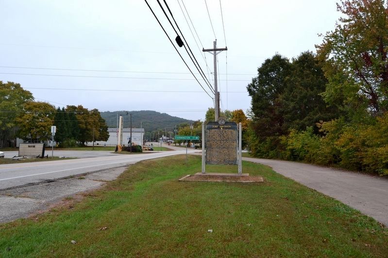
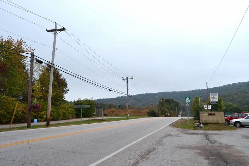
Location. 37° 37.229′ N, 90° 38.424′ W. Marker is in Pilot Knob, Missouri, in Iron County. Marker is at the intersection of S. McCune Street and Maple Street (Missouri Highway 221), on the right when traveling north on S. McCune Street. Located next to Battle of Pilot Knob State Historic Site. Touch for map. Marker is in this post office area: Pilot Knob MO 63663, United States of America. Touch for directions.
Other nearby markers. At least 8 other markers are within walking distance of this marker. Pilot Knob Mountain (a few steps from this marker); The Doomed Assault (within shouting distance of this marker); The Moat (within shouting distance of this marker); The Struggle for the Mountains (within shouting distance of this marker); The Powder Magazine (within shouting distance of this marker); The Fight for Ironton (about 400 feet away, measured in a direct line); St. Mary's Catholic Church (about 400 feet away); The Battle of Pilot Knob (about 500 feet away). Touch for a list and map of all markers in Pilot Knob.
Also see . . .
1. Fort Davidson State Historic Site. (Submitted on November 27, 2010, by Craig Swain of Leesburg, Virginia.)
2. Fort Davidson. Site photos at Civil War Album. (Submitted on November 27, 2010, by Craig Swain of Leesburg, Virginia.)
Credits. This page was last revised on October 27, 2016. It was originally submitted on November 27, 2010, by Craig Swain of Leesburg, Virginia. This page has been viewed 1,167 times since then and 38 times this year. Photos: 1, 2. submitted on November 27, 2010, by Craig Swain of Leesburg, Virginia. 3, 4. submitted on October 27, 2016, by Duane Hall of Abilene, Texas. 5. submitted on November 27, 2010, by Craig Swain of Leesburg, Virginia.
