Boaz in Marshall County, Alabama — The American South (East South Central)
City of Boaz
Side A
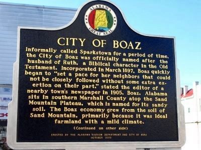
Informally called Sparkstown for a period of time, the city of Boaz was officially named after the husband of Ruth, a Biblical character in the Old Testament. Incorporated in March 1897, Boaz quickly began to "set a pace for her neighbors that could not be closely followed without some extra exertion on their part", stated the editor of a nearby town's newspaper in 1905. Boaz, Alabama sits in southern Marshall county atop the Sand Mountain plateau, which is named for its sandy soil. The Boaz economy grew from the soil of Sand Mountain, primarily because it was ideal farmland with a mild climate. (Continued on other side)
Side B
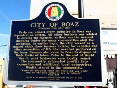
Early on, almost every industry in Boaz was dependent on cotton. All other business was related to serving the farmers, as Boaz was the nearest shopping center for many communities atop the mountain. In earlier days, the city served as a magnet which drew farmers looking for supplies and other necessities of life that were not produced on the farm. Farmers also came to Boaz to dispose of their fruits of labor. Prior to the end of World War II, most businesses were locally owned. The community reinvested profits into expansions and additional local enterprises. Wealth stayed in the community.
"Where did you glean today and where did you work? May he who took notice
Erected 2010 by Alabama Tourism Department & the City of Boaz.
Topics. This historical marker is listed in these topic lists: Agriculture • Settlements & Settlers. A significant historical month for this entry is March 1897.
Location. 34° 11.899′ N, 86° 9.94′ W. Marker is in Boaz, Alabama, in Marshall County. Marker is at the intersection of S Main Street (Alabama Route 205) and Mill Ave (Alabama Highway 168), on the right when traveling north on S Main Street. Touch for map. Marker is in this post office area: Boaz AL 35956, United States of America. Touch for directions.
Other nearby markers. At least 8 other markers are within 6 miles of this marker, measured as the crow flies. Sardis City Beginnings (approx. 2.8 miles away); Seventh District Agricultural School (approx. 5 miles away); Liberty Tree Memorial (approx. 5.1 miles away); Birthplace of Albertville (approx. 5.1 miles away); Fire Hydrant Capital of the World (approx. 5.2 miles away); Pre-Civil War Cemetery (approx. 5.7 miles away); Albert Family (approx. 5.7 miles away); A Celebration of 150 Years (approx. 5.7 miles away).
Also see . . . Boaz. Encyclopedia of Alabama entry (Submitted on January 4, 2013, by Laura Hill of Auburn, Alabama.)
Additional keywords. Boaz, Alabama, Marshall County,
Credits. This page was last revised on October 7, 2020. It was originally submitted on December 19, 2010, by Julia Frost of Hoover, Alabama. This page has been viewed 1,040 times since then and 42 times this year. Photos: 1, 2. submitted on December 19, 2010, by Julia Frost of Hoover, Alabama. • Bill Pfingsten was the editor who published this page.

