Bel Alton in Charles County, Maryland — The American Northeast (Mid-Atlantic)
Pine Thicket
"… the instrument of his punishment"
— John Wilkes Booth – Escape of an Assassin —
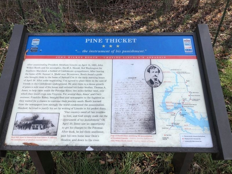
After assassinating President Abraham Lincoln on April 14, 1865, John Wilkes Booth and his accomplice, David A. Herold, fled Washington for Southern Maryland, a hotbed of Confederate sympathizers. After leaving the home of Dr. Samuel A. Mudd near Bryantown, Booth found a guide who brought them to the home of Samuel Cox in the early morning hours of April 16. After some negotiating, Cox agreed to place them in the care of friends in the Confederate underground. He sent them to a dense growth of pines a mile west of his house and enlisted his foster brother, Thomas A. Jones, to help them reach the Potomac River, two miles farther west, over which they could cross into Virginia. For several days, Jones’ and Cox’s overseer, Franklin Robey, brought food and newspapers to the fugitives as they waited for a chance to continue their journey south. Booth learned from the newspapers how strongly the world condemned the assassination. Shocked, he tried to justify his act by writing of Lincoln in his pocket diary, “Our country owed all her troubles to him, and God simply made me the instrument of his punishment.” On April 20, Jones saw an opportunity to get his charges to the Potomac. After dusk, he led them southwest, past his own home near Dent’s Meadow, and down to the river.
Erected by Maryland Civil War Trails.
Topics and series. This historical marker is listed in this topic list: War, US Civil. In addition, it is included in the Booth's Escape, the Former U.S. Presidents: #16 Abraham Lincoln, and the Maryland Civil War Trails series lists. A significant historical date for this entry is April 14, 1865.
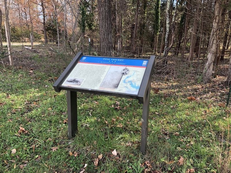
Location. 38° 27.78′ N, 76° 59.145′ W. Marker is in Bel Alton, Maryland, in Charles County. Marker is at the intersection of Bel Alton Newtown Road and Wills Road, on the right when traveling north on Bel Alton Newtown Road. Touch for map. Marker is in this post office area: Bel Alton MD 20611, United States of America. Touch for directions.
Other nearby markers. At least 8 other markers are within 2 miles of this marker, measured as the crow flies. John Wilkes Booth and David Herold (a few steps from this marker); John Wilkes Booth (about 500 feet away, measured in a direct line); Rich Hill (approx. 1.2 miles away); a different marker also named Rich Hill (approx. 1.2 miles away); Rich Hill Through the Years (approx. 1.2 miles away); Rich Hill Farm in the 19th Century: Samuel Cox and his Award-Winning Farm (approx. 1.2 miles away); Archaeology Provides a Key to the History of Rich Hill (approx. 1.2 miles away); Rich Hill Farm in the 20th Century (approx. 1.2 miles away). Touch for a list and map of all markers in Bel Alton.
More about this marker. On the middle
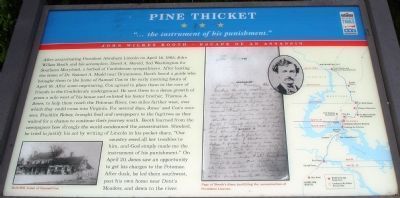
of the marker is a copy of a "Page of Booth's diary justifying the assassination of President Lincoln." A portrait of Booth is between the diary page and a map of Booth's escape route. The map uses stars to indicate locations of other Civil War Trails sites related to Booth. On the lower left is a photo of "Rich Hill, home of Samuel Cox."
Also see . . . Booth's Escape Byway. (Submitted on January 16, 2019, by David Lassman of Waldorf, Maryland.)
Additional keywords. John Wilkes Booth Escape Route
Credits. This page was last revised on November 25, 2021. It was originally submitted on January 2, 2008. This page has been viewed 10,717 times since then and 353 times this year. Last updated on January 7, 2011. Photos: 1. submitted on November 25, 2021, by Devry Becker Jones of Washington, District of Columbia. 2. submitted on January 2, 2008. 3. submitted on November 25, 2021, by Devry Becker Jones of Washington, District of Columbia. • Kevin W. was the editor who published this page.


