Bowling Green in Warren County, Kentucky — The American South (East South Central)
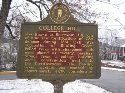
College Hill
Erected 1967 by Kentucky Historical Society - Kentucky Department of Highways. (Marker Number 1051.)
Topics and series. This historical marker is listed in these topic lists: Forts and Castles • War, US Civil. In addition, it is included in the Kentucky Historical Society series list. A significant historical year for this entry is 1861.
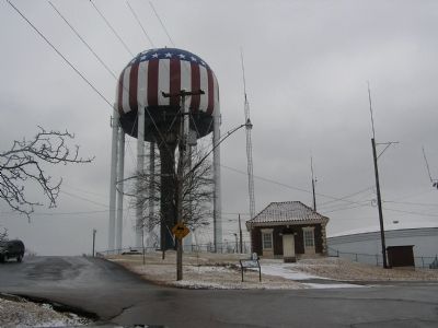
Location. 36° 59.414′ N, 86° 26.274′ W. Marker is in Bowling Green, Kentucky, in Warren County. Marker is on East Main Street near Park Street, on the right when traveling south. Located at the entrance to Reservoir Park. Touch for map. Marker is in this post office area: Bowling Green KY 42101, United States of America. Touch for directions.
Other nearby markers. At least 8 other markers are within walking distance of this marker. Lillian H. South (a few steps from this marker); Fort C. F. Smith (about 600 feet away, measured in a direct line); Bowling Green (approx. 0.2 miles away); Quigley-Younglove Building (approx. ¼ mile away); Williams Building (approx. ¼ mile away); Turpin Building (approx. ¼ mile away); Barr Building (approx. ¼ mile away); Getty Building (approx. ¼ mile away). Touch for a list and map of all markers in Bowling Green.
Credits. This page was last revised on June 16, 2016. It was originally submitted on January 11, 2011, by Chad Comer of Gamaliel, Kentucky. This page has been viewed 727 times since then and 37 times this year. Photos: 1, 2. submitted on January 11, 2011, by Chad Comer of Gamaliel, Kentucky. • Craig Swain was the editor who published this page.

