Sadsbury Township near Linesville in Crawford County, Pennsylvania — The American Northeast (Mid-Atlantic)
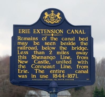
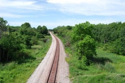
Erie Extension Canal
Erected 1947 by Pennsylvania Historical and Museum Commission.
Topics and series. This historical marker is listed in these topic lists: Bridges & Viaducts • Environment. In addition, it is included in the Pennsylvania Historical and Museum Commission series list.
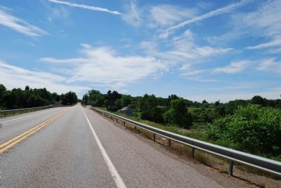
Location. 41° 37.67′ N, 80° 22.639′ W. Marker is near Linesville, Pennsylvania, in Crawford County. It is in Sadsbury Township. Marker is at the intersection of Grand Army of the Republic Highway (U.S. 6) and Brooks Road, on the right when traveling east on Grand Army of the Republic Highway. Touch for map. Marker is in this post office area: Linesville PA 16424, United States of America. Touch for directions.
Other nearby markers. At least 8 other markers are within 6 miles of this marker, measured as the crow flies. Blue Streak (approx. 3.2 miles away); This Carousel (approx. 3.2 miles away); This Tablet (approx. 4.2 miles away); To the Memory of the Brave (approx. 4.2 miles away); Geology (approx. 4.3 miles away); The Ice Industry and the Ice Houses (approx. 4.3 miles away); The Railroads (approx. 4.3 miles away); a different marker also named Erie Extension Canal (approx. 5.1 miles away).
Also see . . . Pennsylvania Canal Society. (Submitted on January 26, 2011, by Bernard Fisher of Richmond, Virginia.)
Credits. This page was last revised on February 7, 2023. It was originally submitted on January 24, 2011, by Mike Wintermantel of Pittsburgh, Pennsylvania. This page has been viewed 1,069 times since then and 47 times this year. Last updated on January 26, 2011, by Forest McDermott of Masontown, Pennsylvania. Photos: 1. submitted on January 24, 2011, by Mike Wintermantel of Pittsburgh, Pennsylvania. 2, 3. submitted on June 20, 2014, by Mike Wintermantel of Pittsburgh, Pennsylvania. • Bernard Fisher was the editor who published this page.


