Fort Larned National Historic Site in Pawnee County, Kansas — The American Midwest (Upper Plains)
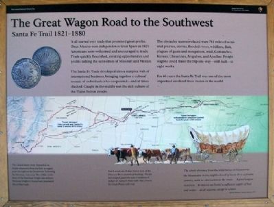
The Great Wagon Road to the Southwest
Santa Fe Trail 1821-1880
Inscription.
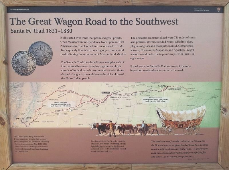
It all started over trade that promised great profits. Once Mexico won independence from Spain in 1821 Americans were welcomed and encouraged to trade. Trade quickly flourished, creating opportunities and profits linking the economies of Missouri and Mexico.
The Santa Fe Trade developed into a complex web of international business, bringing together a cultural mosaic of individuals who cooperated - and at times clashed. Caught in the middle was the rich culture of the Plains Indian people.
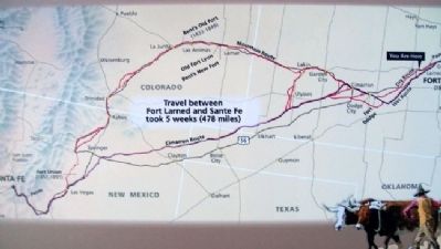
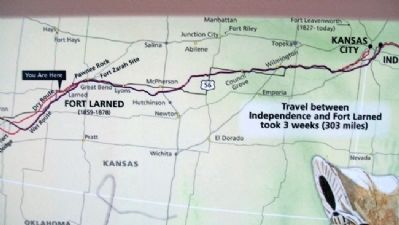
The obstacles teamsters faced were 781 miles of semi-arid prairies, storms, flooded rivers, wildfires, dust, plaques of gnats and mosquitoes, mud, Comanches, Kiowas, Cheyennes, Arapahos, and Apaches. Freight wagons could make the trip one-way - with luck - in eight weeks.
For 60 years the Santa Fe Trail was one of the most important overland trade routes in the world.
The United States Army depended on freight shipments from the East to supply posts throughout the Southwest. Following the Mexican-American War (1846-1848) most of the American freight was military. Mexican freighters bound east dominated the civilian trade.
Fort Larned sits 20 days' travel west of the Missouri River steamboat landings. Troops here helped guard the tens of millions of dollars of Santa Fe Trail traffic that crossed the Great Plains each year.
The whole distance from the settlements on Missouri to the Mountains in the neighborhood of Santa Fe is a prairie country, with no obstruction to the route...A good wagon road can...be traced out [with] a sufficient supply of fuel and water...at all seasons, except in winter.
Alphonse Wetmore, Missouri gazetteer, 1824
Erected by National Park Service.
Topics and series. This historical marker is listed in these topic lists: Forts and Castles • Roads & Vehicles • Settlements & Settlers • War, Mexican-American. In addition, it is included in the Santa Fe Trail series list. A significant historical year for this entry is 1821.
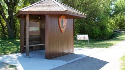
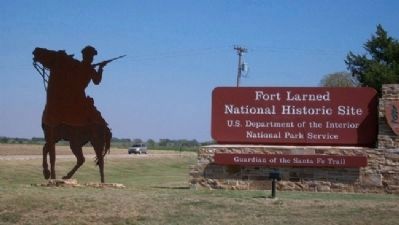
Location. 38° 11.113′ N, 99° 13.14′ W. Marker is in Fort Larned National Historic Site, Kansas, in Pawnee County. Marker is at the parking lot kiosk, off Kansas Highway 156. Touch for map. Marker is at or near this postal address: 1767 Kansas Highway 156, Larned KS 67550, United States of America. Touch for directions.
Other nearby markers. At least 8 other markers are within walking distance of this marker. Well, Adobe Hospital and Hospital Steward's Quarters (about 600 feet away, measured in a direct line); Soldiers Who Died At Fort Larned (about 700 feet away); Third Infantry Honored Dead (approx. 0.2 miles away); Doesn't Every Fort Have a Wall? (approx. 0.2 miles away); Santa Fe Trail
(approx. 0.2 miles away); Fort Larned (approx. 0.2 miles away); A Soldier Town (approx. 0.2 miles away); The Frontier Army and the U.S. Mail (approx. 0.2 miles away). Touch for a list and map of all markers in Fort Larned National Historic Site.
Also see . . .
1. Santa Fe National Historic Trail. (Submitted on February 6, 2011, by William Fischer, Jr. of Scranton, Pennsylvania.)
2. Santa Fe Trail Association. (Submitted on February 6, 2011, by William Fischer, Jr. of Scranton, Pennsylvania.)
3. The Interactive Santa Fe Trail. (Submitted on February 6, 2011, by William Fischer, Jr. of Scranton, Pennsylvania.)
4. Fort Larned National Historic Site. (Submitted on February 6, 2011, by William Fischer, Jr. of Scranton, Pennsylvania.)
Credits. This page was last revised on August 7, 2016. It was originally submitted on February 6, 2011, by William Fischer, Jr. of Scranton, Pennsylvania. This page has been viewed 1,393 times since then and 19 times this year. Photos: 1, 2, 3, 4, 5. submitted on February 6, 2011, by William Fischer, Jr. of Scranton, Pennsylvania. 6. submitted on August 7, 2016, by William Fischer, Jr. of Scranton, Pennsylvania.
