Near Adairsville in Bartow County, Georgia — The American South (South Atlantic)
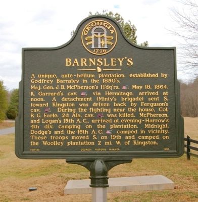
Barnsley’s
Maj. Gen. J. B. McPherson’s H’dq’rs. [US], May 18, 1864.
K. Garrard’s cav. [US], via Hermitage, arrived at noon. A detachment (Minty’s brigade) sent S. toward Kingston was driven back by Ferguson’s cav. [CS]. During the fighting near the house, Col. R. G. Earle, 2d Ala. cav. [CS], was killed. McPherson, and Logan’s 15th A.C., arrived at evening ~ Harrow’s 4th div. camping on the plantation. Midnight, Dodge’s and the 16th A.C. [US], camped in vicinity. These troops moved S. on 19th and camped on the Woolley plantation 2 mi. W. of Kingston
Erected 1985 by Georgia Department of Natural Resources. (Marker Number 008-30.)
Topics and series. This historical marker is listed in this topic list: War, US Civil. In addition, it is included in the Georgia Historical Society series list. A significant historical month for this entry is May 1922.
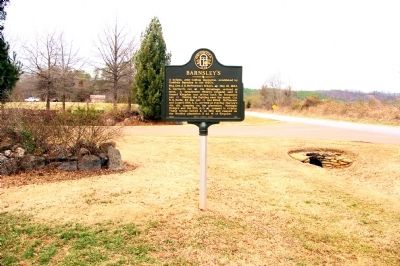
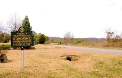
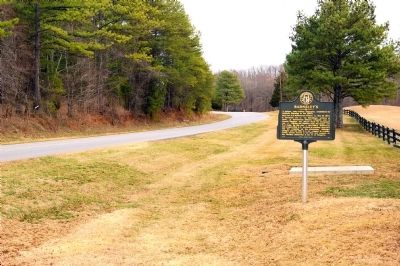
Location. 34° 18.087′ N, 84° 58.848′ W. Marker is near Adairsville, Georgia, in Bartow County. Marker is on Barnsley Gardens Road, 0.1 miles east of Rock Fence Road, on the right when traveling east. Touch for map. Marker is at or near this postal address: 597 Barnsley Gardens Road, Adairsville GA 30103, United States of America. Touch for directions.
Other nearby markers. At least 8 other markers are within 5 miles of this marker, measured as the crow flies. 4th & 14th A.C. March to Kingston (approx. 2.4 miles away); Spring Bank (approx. 3.2 miles away); McPherson’s Troops March to Barnsley’s (approx. 3.9 miles away); Woolley's Bridge (approx. 4.4 miles away); The Federal Army at Kingston (approx. 4.6 miles away); Hardee's Corps at Kingston (approx. 4.7 miles away); Rome Railroad (approx. 4.9 miles away); Confederate Memorial Day (approx. 4.9 miles away).
More about this marker. This marker is a replacement for an earlier marker with the same title and similar text, erected by the Georgia Historical Commission near this location, which had disappeared.
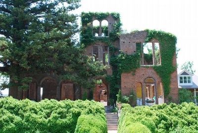
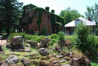
Regarding Barnsley’s. The unusual Italianate home was severely damaged by a tornado in 1906. The house and grounds have recently been developed into a resort called Barnsley Gardens.
Also see . . . Barnsley Gardens. The Wikipedia entry. (Submitted on March 14, 2011, by David Seibert of Sandy Springs, Georgia.)
Credits. This page was last revised on June 16, 2016. It was originally submitted on March 11, 2011, by David Seibert of Sandy Springs, Georgia. This page has been viewed 1,290 times since then and 26 times this year. Photos: 1, 2, 3, 4. submitted on March 11, 2011, by David Seibert of Sandy Springs, Georgia. 5, 6. submitted on August 11, 2015, by Brandon Fletcher of Chattanooga, Tennessee. • Craig Swain was the editor who published this page.
