Near Claremore in Rogers County, Oklahoma — The American South (West South Central)
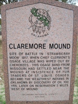
Claremore Mound
Site of battle in "Strawberry Moon" 1817, when Chief Clermont's Osage village was wiped out by Cherokees. This Osage band from Missouri had settled near the mound at insistence of fur traders of St. Louis. Osages became the wealthiest Indians in Oklahoma by discovery of oil 100 yrs. later on reservation 2 miles west of mound.
Erected 1995 by Oklahoma Historical Society. (Marker Number 169.)
Topics and series. This historical marker is listed in this topic list: Native Americans. In addition, it is included in the Oklahoma Historical Society series list. A significant historical year for this entry is 1817.
Location. 36° 22.919′ N, 95° 37.972′ W. Marker is near Claremore, Oklahoma, in Rogers County. Marker is on State Highway 88, 0 miles north of East Canyon Oaks Road, on the left when traveling north. From US66 in Claremore, Ok. West on Will Rogers Blvd./Hwy 88 for 5.4 miles. Touch for map. Marker is in this post office area: Claremore OK 74017, United States of America. Touch for directions.
Other nearby markers. At least 8 other markers are within 5 miles of this marker, measured as the crow flies. Will Rogers Redbud (approx. 4.2 miles away); Howdy Folks (approx. 4.2 miles away); Will Rogers Memorial (approx. 4.2 miles away); Will Rogers (approx. 4.2 miles away); Oklahoma Military Academy War Memorial (approx. 4.3 miles away); Oklahoma Military Academy Killed in Action Memorial (approx. 4.3 miles away); George Washington (approx. 4.3 miles away); Main Street of America (approx. 4.8 miles away). Touch for a list and map of all markers in Claremore.
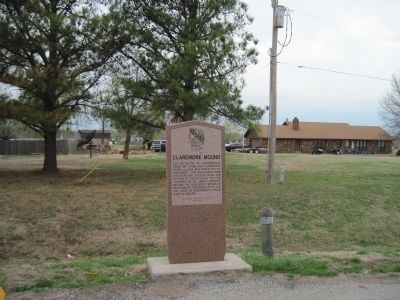
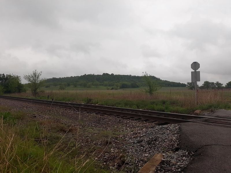
More about this marker. Unfortunately, the view of what I believe to be the mound is mostly obscured by residential structures West of the marker.
Also see . . . Battle of Claremore Mound - Wikipedia. (Submitted on March 20, 2011, by Bill Pfingsten of Bel Air, Maryland.)
Credits. This page was last revised on November 1, 2020. It was originally submitted on March 19, 2011, by Eric Hanson of Verdigris, Oklahoma. This page has been viewed 2,342 times since then and 61 times this year. Photos: 1, 2. submitted on March 19, 2011, by Eric Hanson of Verdigris, Oklahoma. 3. submitted on November 1, 2020, by Craig Doda of Napoleon, Ohio. • Bill Pfingsten was the editor who published this page.


