Port Clinton in Ottawa County, Ohio — The American Midwest (Great Lakes)
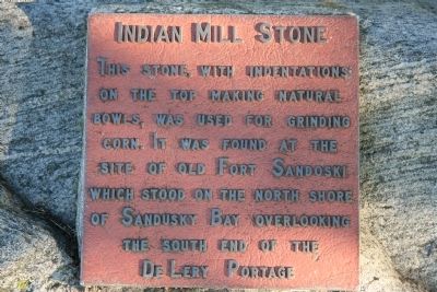
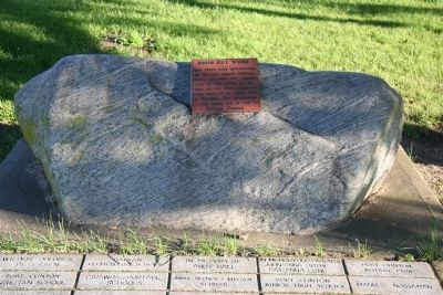
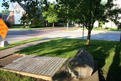
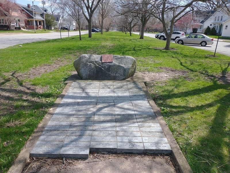
Indian Mill Stone
Topics. This historical marker is listed in this topic list: Native Americans.
Location. 41° 30.711′ N, 82° 56.244′ W. Marker is in Port Clinton, Ohio, in Ottawa County. Marker is at the intersection of East 2nd Street and Adams Street, on the right when traveling east on East 2nd Street. This historical marker is located on the eastern edge of the downtown area, a block south of the roadway that runs east to west along the Lake Erie shoreline. Touch for map. Marker is in this post office area: Port Clinton OH 43452, United States of America. Touch for directions.
Other nearby markers. At least 8 other markers are within walking distance of this marker. Saint Thomas Episcopal Church (about 400 feet away, measured in a direct line); This Millstone (about 500 feet away); This Anchor (about 600 feet away); Battle Of Lake Erie Gun (about 700 feet away); 1912 Matthews 35' "Detroit" (approx. 0.2 miles away); Japanese Type 38 "I" Improved Field Gun (approx. 0.2 miles away); Ottawa County Courthouse (approx. 0.2 miles away); Keeper's Boathouse (approx. 0.2 miles away). Touch for a list and map of all markers in Port Clinton.
Click on the ad for more information.
Please report objectionable advertising to the Editor.
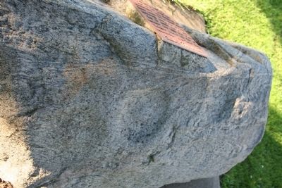
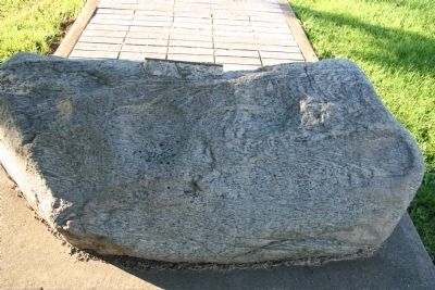
sectionhead>More about this marker. The Indian Mill Stone, that is the focus of this historical marker, was originally located about 1.7 miles to the southeast, at the southern end of what was the DeLery Portage, near the site of what was old Fort Sandoski. It was later moved to its present location.Please report objectionable advertising to the Editor.
The DeLery Portage was at the northern end of the Sandusky - Scioto Trail, running across the base of the Marblehead Peninsula, between Lake Erie (at the mouth of the Portage River) and the Sandusky Bay.
Related marker. Click here for another marker that is related to this marker. To better understand the relationship, study each marker in the order shown.
Credits. This page was last revised on April 19, 2022. It was originally submitted on March 31, 2011, by Dale K. Benington of Toledo, Ohio. This page has been viewed 1,157 times since then and 44 times this year. Photos: 1, 2, 3, 4, 5. submitted on April 2, 2011, by Dale K. Benington of Toledo, Ohio. 6. submitted on April 19, 2022, by Craig Doda of Napoleon, Ohio.
