Jonesboro in Clayton County, Georgia — The American South (South Atlantic)
Battlefield Landmark
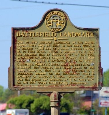
One of few natural landmarks of the battle fought here Aug. 31, 1864, is the deep gully S. of marker -- the bed of a small stream flowing W. to Flint River. N. of, & parallel to it, was the refused line of Harrow’s div. of the 15th, prolonged by Rice’s brigade (Corse’s div.), 16th A.C. [US] facing S. & extending W. to the river.
Cleburne’s, Maney’s & Bate’s divs., Hardee’s A.C. [CS] attacked the refused line from south of the gully, only to find it a fatal obstacle to a concerted assault on the intrenched lines & artillery of Harrow & Rice. Hardee’s attack was the signal for advance of S. D. Lee’s A.C. on the 15th corps front facing Jonesboro.
Erected 1958 by Georgia Historical Commission. (Marker Number 031-27.)
Topics and series. This historical marker is listed in this topic list: War, US Civil. In addition, it is included in the Georgia Historical Society series list. A significant historical date for this entry is August 31, 1864.
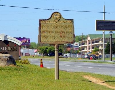
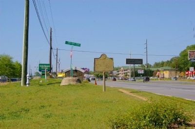
Location. 33° 31.529′ N, 84° 21.811′ W. Marker is in Jonesboro, Georgia, in Clayton County. Marker is at the intersection of Tara Boulevard (U.S. 19/41) and Veterans Parkway, on the right when traveling south on Tara Boulevard. Touch for map. Marker is in this post office area: Jonesboro GA 30238, United States of America. Touch for directions.
Other nearby markers. At least 8 other markers are within walking distance of this marker. Diverted Attack (approx. 0.3 miles away); Attack by Lee's Corps (approx. 0.4 miles away); The March to the Sea (approx. half a mile away); Battle of Jonesboro The First Day (approx. half a mile away); The Johnson-Blalock House (approx. half a mile away); Heritage Place (approx. half a mile away); Lee's Corps Withdrawn (approx. half a mile away); Clayton County (approx. 0.6 miles away). Touch for a list and map of all markers in Jonesboro.
Regarding Battlefield Landmark. The deep gully described by the marker has been almost obliterated by development.
Credits. This page was last revised on August 31, 2021. It was originally submitted on April 14, 2011, by David Seibert of Sandy Springs, Georgia. This page has been viewed 1,230 times since then and 32 times this year. Photos: 1, 2, 3. submitted on April 14, 2011, by David Seibert of Sandy Springs, Georgia. • Craig Swain was the editor who published this page.


