Richfield Springs in Otsego County, New York — The American Northeast (Mid-Atlantic)
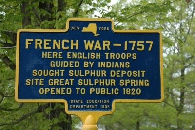
French War - 1757
Guided by Indians
sought sulphur deposit
site Great Sulphur Spring
opened to public 1820
Erected 1935 by New York State Education Department.
Topics. This historical marker is listed in this topic list: War, French and Indian. A significant historical year for this entry is 1820.
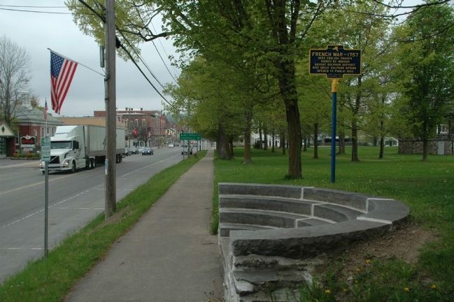
Location. 42° 51.194′ N, 74° 58.983′ W. Marker is in Richfield Springs, New York, in Otsego County. Marker is on East Main Street (U.S. 20), on the right when traveling west. Marker is beside the sidewalk in the municipal park, Spring Park, opposite the Village Motel at 168 East Main Street (Route 20) Richfield Springs, NY 13439. Touch for map. Marker is at or near this postal address: 169 Main Street, Richfield Springs NY 13439, United States of America. Touch for directions.
Other nearby markers. At least 8 other markers are within walking distance of this marker. Ganowauges (a few steps from this marker); Desert Storm Veterans Memorial (about 300 feet away, measured in a direct line); Spring House (about 400 feet away); Adam Helmer’s Run (about 400 feet away); The Thomas R. Proctor Clock (about 500 feet away); Richfield Hotel (approx. ¼ mile away); Sprout of George Washington Elm (approx. 0.3 miles away); Richfield Veterans Memorial (approx. half a mile away). Touch for a list and map of all markers in Richfield Springs.
Credits. This page was last revised on June 16, 2016. It was originally submitted on May 28, 2011, by Howard C. Ohlhous of Duanesburg, New York. This page has been viewed 760 times since then and 22 times this year. Photos: 1, 2. submitted on May 28, 2011, by Howard C. Ohlhous of Duanesburg, New York. • Bill Pfingsten was the editor who published this page.

