Galena in Cherokee County, Kansas — The American Midwest (Upper Plains)
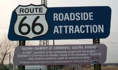
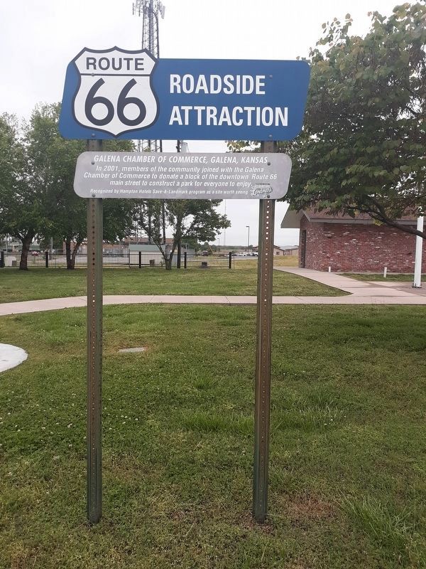
Galena Chamber of Commerce, Galena, Kansas
Route 66 Roadside Attraction
In 2001, members of the community joined with the Galena Chamber of Commerce to donate a block of the downown Route 66 main street to construct a park for everyone to enjoy.
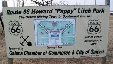
The Oldest Mining Town in Southeast Kansas
City of Galena, Established in 1877
Erected by Hampton Hotels Save-A-Landmark Program.
Topics and series. This historical marker is listed in these topic lists: Industry & Commerce • Roads & Vehicles • Settlements & Settlers. In addition, it is included in the Route 66 Roadside Attractions, and the U.S. Route 66 series lists. A significant historical year for this entry is 2001.
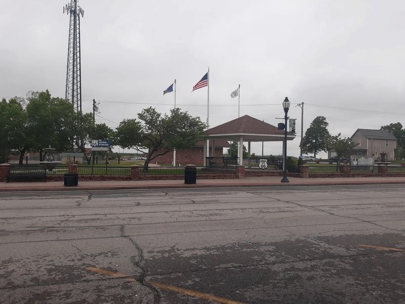
Location. 37° 4.554′ N, 94° 38.362′ W. Marker is in Galena, Kansas, in Cherokee County. Marker is on Main Street (Historic US Route 66) near 5th Street, on the right when traveling south. Marker is in Litch Park. Touch for map. Marker is in this post office area: Galena KS 66739, United States of America. Touch for directions.
Other nearby markers. At least 8 other markers are within 3 miles of this marker, measured as the crow flies. Mining And Its Impacts (here, next to this marker); Galena Growth And Change (here, next to this marker); Welcome To Galena (here, next to this marker); Route 66 Howard 'Pappy' Litch Park (within shouting distance of this marker); Galena, Kansas (within shouting distance of this marker); War Memorial (about 700 feet away, measured in a direct line); The Kansas Route 66 Historic District, East of Galena (approx. 0.6 miles away); The Kansas Ozarks (approx. 2.3 miles away). Touch for a list and map of all markers in Galena.
Also see . . .
1. Historic Route 66 in Galena, Kansas. (Submitted on June 2, 2011, by William Fischer, Jr. of Scranton, Pennsylvania.)
2. The Route 66 Caravan. (Submitted on June 2, 2011, by William Fischer, Jr. of Scranton, Pennsylvania.)
Credits. This page was last revised on December 1, 2021. It was originally submitted on June 2, 2011, by William Fischer, Jr. of Scranton, Pennsylvania. This page has been viewed 919 times since then and 26 times this year. Photos: 1. submitted on June 2, 2011, by William Fischer, Jr. of Scranton, Pennsylvania. 2. submitted on November 30, 2021, by Craig Doda of Napoleon, Ohio. 3. submitted on June 2, 2011, by William Fischer, Jr. of Scranton, Pennsylvania. 4. submitted on December 4, 2020, by Craig Doda of Napoleon, Ohio.


