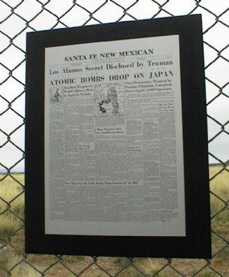
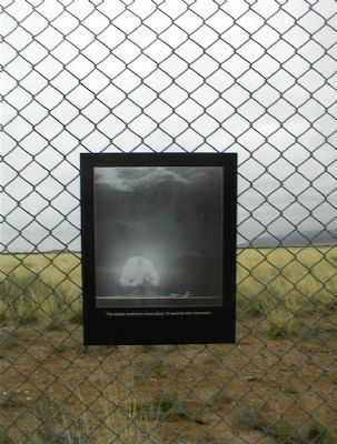
White Sands Proving Grounds in Socorro County, New Mexico — The American Mountains (Southwest)
Trinity Site
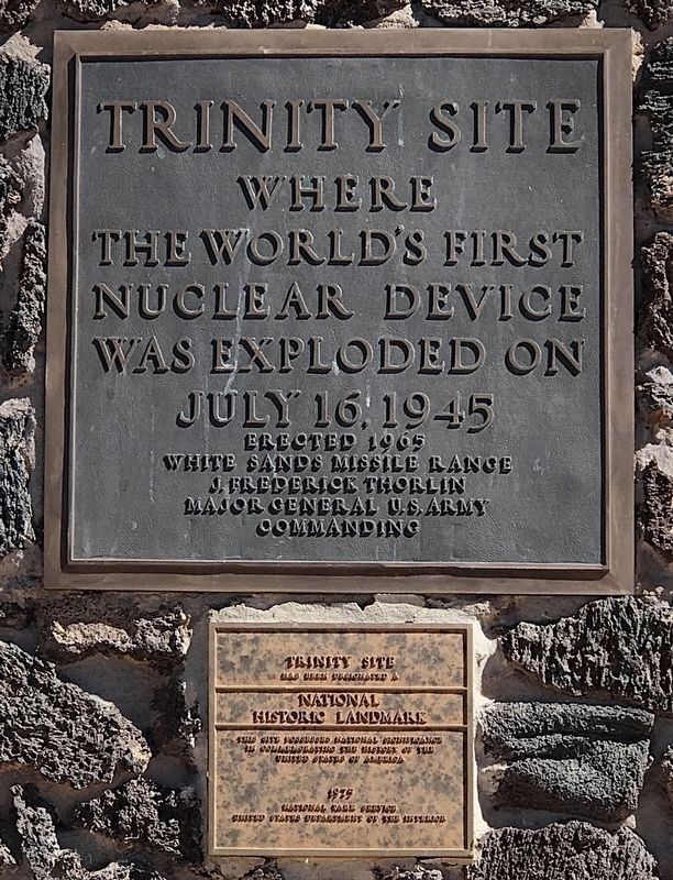
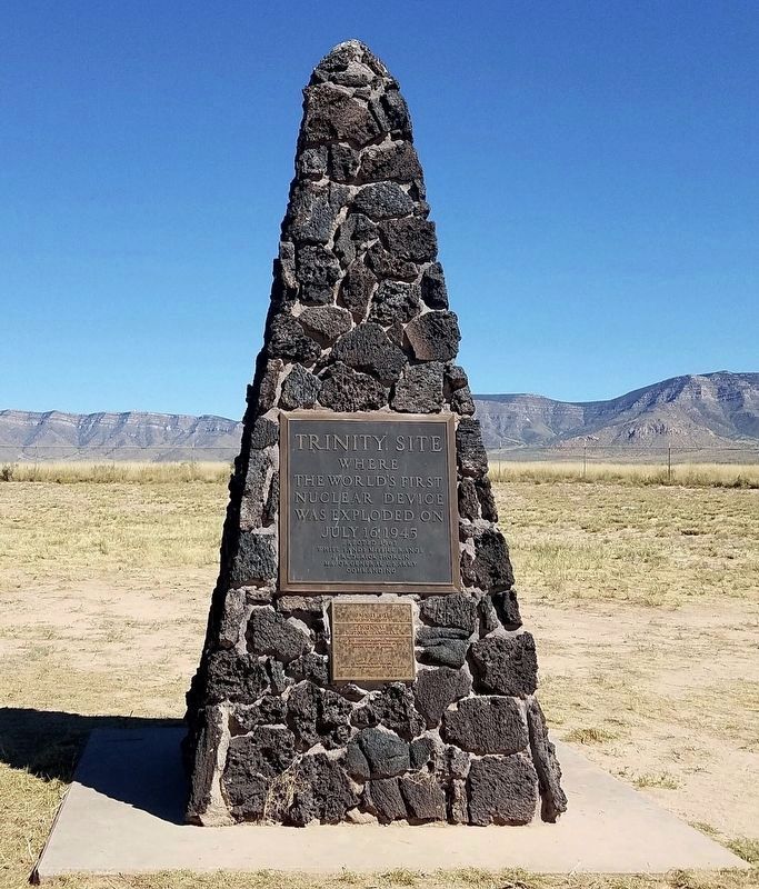
Trinity Site
where the world's first nuclear device was exploded on July 16, 1945 Erected 1965
White Sands Missile Range
J. Frederick Thorlin
Major General U.S. Army
Commanding
Trinity Site
has been designated a National Historical Landmark
This site possesses national significance in commemorating the history of the United States of America
1975
National Park Service
United States Department of the Interior
Erected 1965 by White Sands Missile Range.
Topics and series. This historical marker is listed in these topic lists: Military • Science & Medicine • War, World II. In addition, it is included in the National Historic Landmarks series list. A significant historical month for this entry is July 1900.
Location. 33° 40.638′ N, 106° 28.517′ W. Marker is in White Sands Proving Grounds, New Mexico, in Socorro County. Touch for map. Marker is in this post office area: White Sands Missile Range NM 88002, United States of America. Touch for directions.
Other nearby markers. At least 1 other marker is within 2 miles of this marker, measured as the crow flies. McDonald Ranch House Trinity Site (approx. 2 miles away).
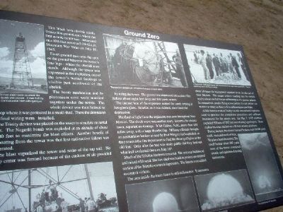
Regarding Trinity Site. Near the site is an interpretive marker, shown in photo 4. It reads:
This black lava obelisk marks Trinity Site ground zero, where the first atomic bomb was detonated on a 100-foot tower at 5:29:45 a.m., Mountain War Time on July 16, 1945.
Exact ground zero was the spot on the ground between the tower’s four legs – where the obelisk now stands. Although the tower was vaporized in the explosion, one of the tower’s buried footings is visible just northwest of the obelisk.
The bomb mechanism and its plutonium core were married together under the tower. The whole device was then hoisted to the top where it was protected in a small shed. There the detonators and final wiring were installed.
The Trinity device was placed on the tower to simulate an aerial blast. The Nagasaki bomb was exploded at an altitude of about 1,540 feet to maximize the blast effects. Another benefit of detonating from the tower was that less radioactive fallout was generated.
The blast vaporized the tower and some of the top soil. No bomb crater was formed because of the cushion of air provided by using the tower. The ground was depressed into a plate-like hollow about eight-feet deep and 800 yards across.
The immense heat of the explosion melted the sand, turning it into a green glass. “Trinitite,” as it was dubbed, once lined the depression.
The flash of light from the explosion was seen throughout New Mexico. The shock wave was another story. Socorro, the nearest town, reported no damage. It hit Gallup, N.M., more than 150 miles away, with a huge thunderclap. Military officials thought an ammunition bunker at near-by Fort Wingate had exploded, so they rousted the fire department to find the destroyed igloo at the old fort. Only after the test was made public did they find out what had awakened them on July 16th.
Much of the Trinitite has been removed. The rest was bulldozed and mixed with sand. The low shed was built to protect an original section of the Trinitite-covered depression. The fences were added to control visitors.
The area inside the inner fence is still radioactive. It measures about 10 times the background radiation levels for this part of New Mexico. This means visitors standing near the obelisk receive about one half to one milliroentgens of exposure an hour. In comparison, people flying cross country in a jet airliner can receive as many as three to five milliroentgens per flight.
A little known event at Trinity was the conventional explosion used to practice the countdown procedures and calibrate instruments for the atomic test. On May 7, 1945 scientists exploded 100 tons of TNT just east of today's parking lot. Those explosives were stacked on a 20-foot wooden platform.
During the test, the closest manned bunkers were 10,000 yards south, west and north of here. They have been dismantled. The small bunker about 800 yards west of the tower contained seismic and radiation-detecting instruments.
Additional commentary.
1. Time Capsule Opening
We would like to visit the Trinity Site for the opening of the Time Capsule. Will this be done in April or October of 2009?
Editor's Note: We contacted the White Sands Public Affairs Office. They've notified us that the Time Capsule will be opened during the October 2009 Trinity Site Open House. The specifics are not available at this time, so please check their link for more updated information.
— Submitted January 3, 2009, by Florence Maze of Edgewood, New Mexico.
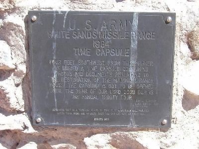
October 6, 2007
7. Trinity Site Time Capsule at the McDonald Ranch House Site
U.S. Army, White Sands Missile Range, 1984, Time Capsule
Four feet southwest from this marker is buried a time capsule containing photos and documents pertaining to the restoration of the McDonald Ranch House. The capsule is not to be opened until the year of Our Lord 2009 during the annual Trinity tour.
Four feet southwest from this marker is buried a time capsule containing photos and documents pertaining to the restoration of the McDonald Ranch House. The capsule is not to be opened until the year of Our Lord 2009 during the annual Trinity tour.
Credits. This page was last revised on November 29, 2021. It was originally submitted on December 20, 2007, by Kevin W. of Stafford, Virginia. This page has been viewed 10,464 times since then and 152 times this year. Photos: 1, 2. submitted on November 19, 2020, by Craig Baker of Sylmar, California. 3, 4, 5, 6, 7. submitted on December 20, 2007, by Kevin W. of Stafford, Virginia.
Editor’s want-list for this marker. Separate submission of entire photo of the Ground Zero interpretive marker. • Can you help?
