Cooperstown in Otsego County, New York — The American Northeast (Mid-Atlantic)
General Clinton's Dam
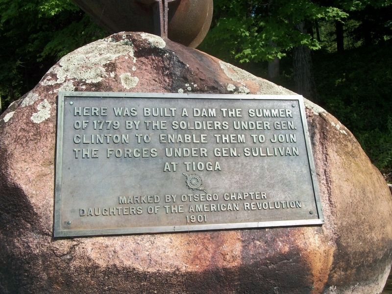
Of 1779 By The Soldiers Under Gen.
Clinton To Enable Them to Join
The Forces Under Gen. Sullivan
At Tioga
Marked by Otsego Chapter
Daughters of the American Revolution
1901
Erected 1901 by Otsego Chapter Daughters of the American Revolution.
Topics and series. This historical marker is listed in these topic lists: Man-Made Features • Patriots & Patriotism • War, US Revolutionary. In addition, it is included in the Daughters of the American Revolution series list. A significant historical year for this entry is 1779.
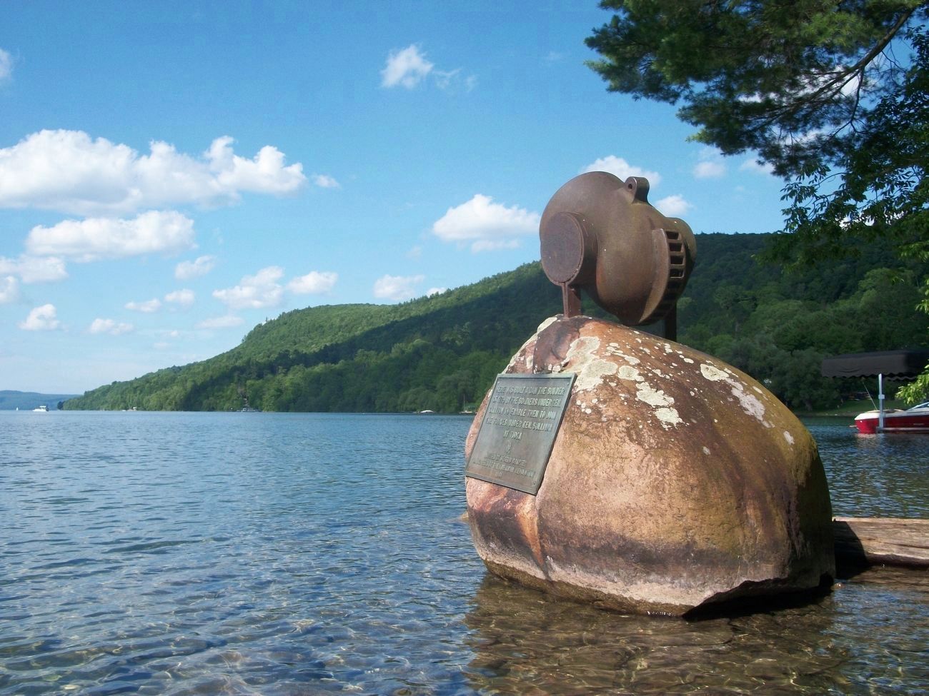
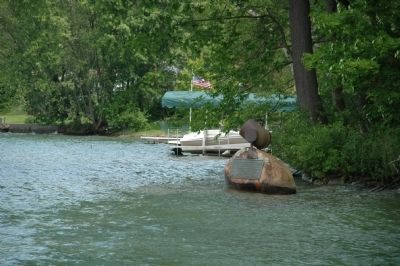
Location. 42° 42.056′ N, 74° 55.167′ W. Marker is in Cooperstown, New York, in Otsego County. Marker can be reached from the intersection of River Street and Lake Street. The plaque is mounted on a large rock just off shore at the south end of Otsego Lake at the source of the Susquehanna River. It can be seen from Council Rock Park at the corner of Lake St & River St, but is not easily read. Touch for map. Marker is in this post office area: Cooperstown NY 13326, United States of America. Touch for directions.
Other nearby markers. At least 8 other markers are within walking distance of this marker. Clinton's Dam (about 300 feet away, measured in a direct line); Council Rock (about 300 feet away); Pomeroy Place (about 700 feet away); Indian Grave (approx. 0.2 miles away); George Croghan (approx. 0.2 miles away); Fair Street (approx. 0.2 miles away); Site of the First National Baseball Hall of Fame Induction (approx. 0.2 miles away); Hoffman Lane (approx. 0.2 miles away). Touch for a list and map of all markers in Cooperstown.
More about this marker. "On September 2, 1901, another generation of people assembled near the outlet of the lake to witness the unveiling of a marker placed by Otsego Chapter, Daughters of the American Revolution, Mrs. Isabella Scott Ernst, regent, to indicate the site and to commemorate the fame of Clinton's dam. The crowd approached the bank of the Susquehanna by descending from River Street, where an arch of bunting had been erected. A large float anchored near the western bank was trimmed with flags, bunting, and vines. Directly across the river, on the eastern point of the outlet, the newly erected marker was concealed beneath the folds of an American flag. While a band played "The Stars and Stripes Forever," the spectators who lined the shore saw approaching from beneath the green foliage down the. river a canoe paddled by a young man who wore the gay dress and war-paint of a Mohawk brave. Seated with him in the canoe were two little girls, attired in patriotic colors. The three in the canoe were lineal descendants of Revolutionary stock. The young girls were Jennie Ordelia Mason and Fannie May Converse, both descendants of James Parshall, an orderly sergeant who was present at the building of the dam in 1779. The Indian was impersonated by F. Hamilton McGown, a descendant of John Parshall, private, a brother of James Parshall. The canoe was paddled close to the eastern shore, and the three occupants drew aside the flag which concealed the marker, amid the applause of the spectators assembled on the banks. The trio in the canoe then drifted back down the river, and were soon lost to view beyond the overhanging branches.
The marker is a large boulder placed a few feet from the eastern bank of the river at the very outlet of the lake. Surmounting the rock is a ten-inch siege mortar thirty inches in length and weighing 1971 pounds, which did service at Fort Foote, Maryland, during the Civil War. On the western side of the boulder is a bronze tablet marked by the insignia of the Daughters of the American Revolution, and bearing this inscription: 'Here was built a dam the summer of 1779 by the soldiers under Gen. Clinton to enable them to join the forces under Gen. Sullivan at Tioga'."
• History of Cooperstown, Livermore, p. 17. The Freeman's Journal. Oct. 31, 1825.
• Otsego Farmer, Sept. 6, 1901.
• The Story of Cooperstown Ralph Birdsall, 1917 pgs 71-72
Regarding General Clinton's Dam. In 1779 General James Clinton led an expedition down the Susquehanna River after making the upper portion navigable by damming up the river's source at Otsego Lake, allowing the lake's level to rise, and then destroying the dam and flooding the river for miles downstream. This event is described by James Fenimore Cooper in the introduction to his popular novel The Pioneers. At Tioga, NY, Clinton met up with General John Sullivan's forces, who had marched from Easton, Pennsylvania. Together, on August 29, they defeated the Tories and Indians at the Battle of Newtown (near today's city of Elmira, NY). This became known as the "Sullivan-Clinton Campaign" or the "Sullivan Expedition."
Additional keywords. Sullivan Expedition Sullivan Campaign Sullivan-Clinton Expedition 1779 Sullivan Campaign
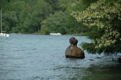
Photographed By Howard C. Ohlhous, June 10, 2011
4. Gen. Clinton Dam Marker
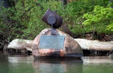
"The marker is a large boulder placed a few feet from the eastern bank of the river at the very outlet of the lake. Surmounting the rock is a ten-inch siege mortar thirty inches in length and weighing 1971 pounds, which did service at Fort Foote, Maryland, during the Civil War."
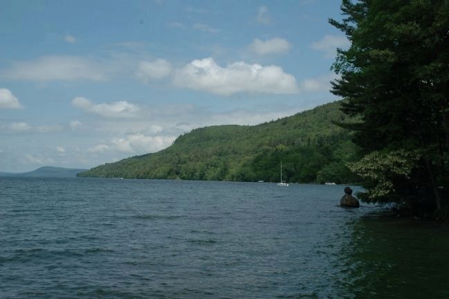
Photographed By Howard C. Ohlhous, June 10, 2011
6. Gen. Clinton Dam Marker
Otsego Lake is the headwaters of the Susquehanna River which flowes 444 miles through the northern and central ranges of the Appalachian Mountains in Pennsylvania before it meets the Chesapeake Bay at Havre de Grace, Maryland.
Credits. This page was last revised on July 31, 2016. It was originally submitted on June 11, 2011, by Howard C. Ohlhous of Duanesburg, New York. This page has been viewed 1,937 times since then and 64 times this year. Photos: 1, 2. submitted on July 27, 2016, by Howard C. Ohlhous of Duanesburg, New York. 3, 4, 5, 6. submitted on June 11, 2011, by Howard C. Ohlhous of Duanesburg, New York. • Bernard Fisher was the editor who published this page.
