Cooperstown in Otsego County, New York — The American Northeast (Mid-Atlantic)
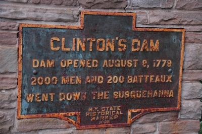
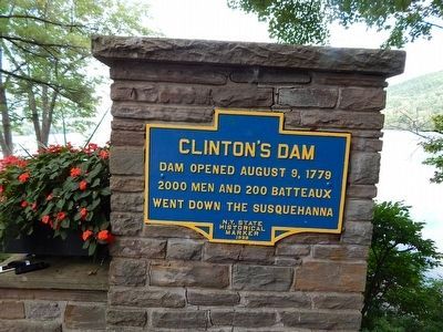
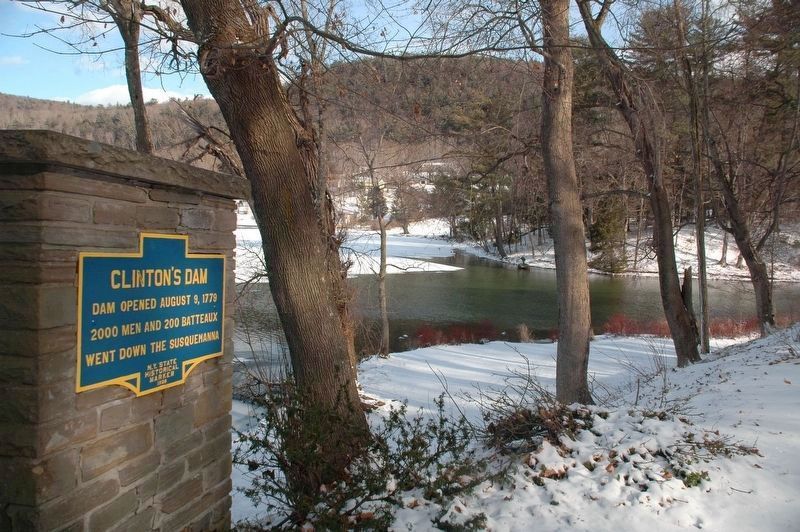
Clinton's Dam
Erected 1928 by New York State Education Department.
Topics. This historical marker is listed in these topic lists: War, US Revolutionary • Waterways & Vessels. A significant historical date for this entry is August 9, 1779.
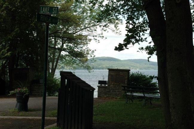
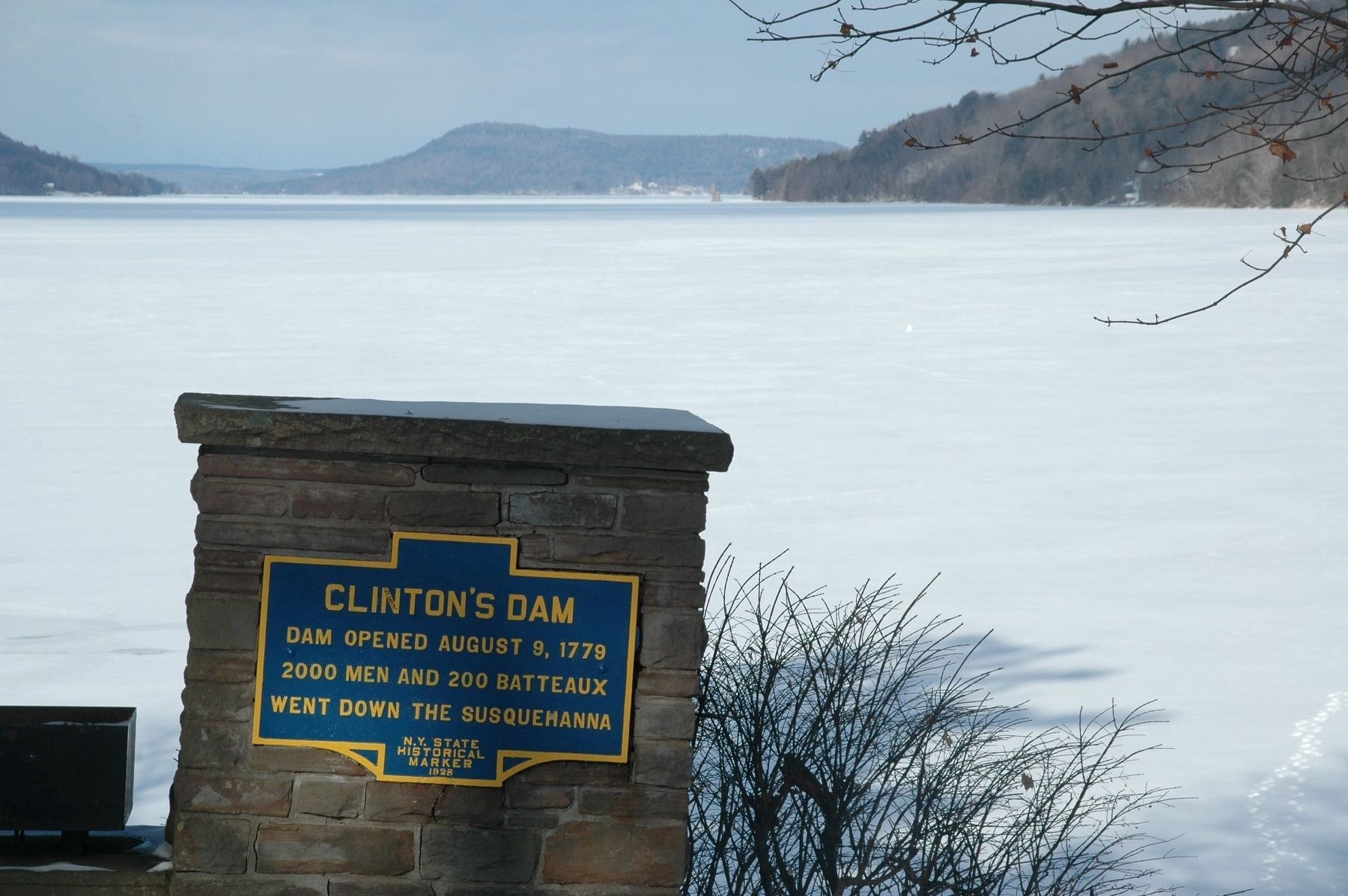
Location. 42° 42.067′ N, 74° 55.231′ W. Marker is in Cooperstown, New York, in Otsego County. Marker is at the intersection of River Street and Lake Street, on the right when traveling north on River Street. Marker is set on a masonry pier at the top of a flight of steps which descend to the edge of Otsego Lake in Council Rock Park. Touch for map. Marker is in this post office area: Cooperstown NY 13326, United States of America. Touch for directions.
Other nearby markers. At least 8 other markers are within walking distance of this marker. Council Rock (a few steps from this marker); General Clinton's Dam (about 300 feet away, measured in a direct line); Pomeroy Place (about 600 feet away); George Croghan (about 600 feet away); Fair Street (about 700 feet away); Site of the First National Baseball Hall of Fame Induction (about 800 feet away); Hoffman Lane (approx. 0.2 miles away); Otsego Hall (approx. 0.2 miles away). Touch for a list and map of all markers in Cooperstown.
Regarding Clinton's Dam. In mid June, 1779 General James Clinton had ordered the outlet of Otsego Lake dammed up in order to provide sufficient draft for the heavily laden boats
The water in the Lake was raised one foot." General Clinton says "at least two," while another account claims that the surface of the lake was raised as much as three feet.
The freshet caused by the sudden release of the pent-up water swelled the stream for a distance of more than a hundred miles. Campbell says that as far south as Tioga the rise in the water was great enough to flow back into the western branch, causing the Chemung River to reverse its course. The Gazetteer of New York said that the Indians upon the banks of the Susquehanna, witnessing the extraordinary rise of the river in midsummer, without any apparent cause, were struck with superstitious dread, and in the very outset were disheartened at the apparent interposition of the Great Spirit in favor of their foes. Stone observes that the sudden swelling of the river, bearing upon its surge a flotilla of more than two hundred vessels, through a region of primitive forests, was a spectacle which might well appall the untutored inhabitants of the region thus invaded.
Fenimore Cooper, writing in 1838, said that traces of Clinton's dam were still to be seen. The last of the logs that remained of the old dam were removed on October 26, 1825, in connection with a curious local celebration of the opening of the Erie Canal, which on that day was the occasion of general celebration throughout the State of New York.
Credits. This page was last revised on October 13, 2021. It was originally submitted on June 11, 2011, by Howard C. Ohlhous of Duanesburg, New York. This page has been viewed 2,172 times since then and 100 times this year. Photos: 1. submitted on June 11, 2011, by Howard C. Ohlhous of Duanesburg, New York. 2. submitted on September 20, 2015, by Scott J. Payne of Deposit, New York. 3. submitted on June 11, 2011, by Howard C. Ohlhous of Duanesburg, New York. 4, 5. submitted on February 4, 2018, by Howard C. Ohlhous of Duanesburg, New York. • Bernard Fisher was the editor who published this page.
